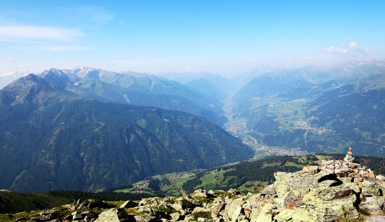
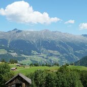
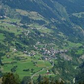
The holiday village Kaunerberg stretches on the sunny slopes of the eponymous mountain, on the pass leading to the Pitztal valley
Image gallery: Kaunerberg
Altitude: 1,270 m a.s.l.
The sunny Kaunerberg and its widely scattered farms and hamlets are located high above the entrance of the Kaunertal valley, extending up to 1,600 m a.s.l. Typical for the area are the so-called "Waale", which are irrigation canals used to sluice meadows, as the southern slopes of Kaunerberg belong to the areas with the lowest precipitation of Tyrol.
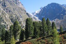
Kaunerberg is located in the Kaunergrat Nature Park, and represents therefore an ideal starting point for hikes and MTB tours across this fascinating world of mountains. Particularly interesting is the Kaunerberg Water Trail, which follows the irrigation canal on the slope. It was realised in the Fourties between the Gallruth Mountain Hut and the Inn river, and provides information about the agricultural conditions in this in part extreme area. A tunnel of 1 km is part of the tour. From the village you can also access the neighbouring Pitztal valley via the Pillerhöhe pass.
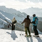
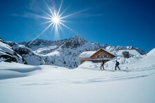
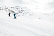
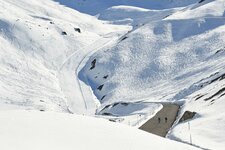
The Schnadiger Pond, a small artificial lake, is an ideal place for hot summer days. In winter, in the surroundings there are the Kaunertal Glacier - Fendels Skiing Area and various possibilities for snow-shoe tours, a perfect way to explore the area in peace and quiet. Kaunerberg features also its own Nordic Walking School, which offers Nordic Winter Walking courses in winter time.
