From the flying and gliding airfield near Nikolsdorf you can take off on a sightseeing flight in the High Tauern area
Image gallery: Nikolsdorf
Altitude: 888 m a.s.l.
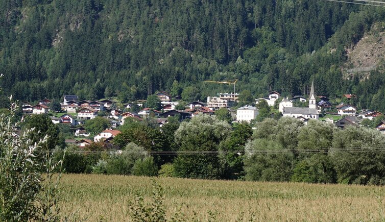
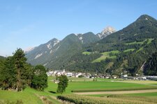
Nikolsdorf, Lengberg, Nörsach and some single farms - that's the municipality of Nikolsdorf in the valley basin of Lienz. It extends to the Gate of Carinthia, or Kärntner Tor, which defines a narrow section in the valley at the border to Carinthia. Consequently Nikolsdorf is the most eastern municipality of Tyrol. Interestingly, "Itilsdorf", as it used to be called, shows on its coat of arms a black panther: It is the heraldic animal of the Mediaeval landlords, the Earls of Lechsgemünde.
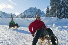
The holiday resort awaits you with numerous sport possibilities: It features a forest swimming pool, several tennis courts, and a wide network of hiking and cycling trails. An easy hike takes you in the direction of the Ederplan, a 2,062 m high peak in the Kreuzeck Group. The 40 km long Nikolsdorf Tour, however, shows you the beauty of the surrounding landscape by bike. In winter, the 35 km long Dolomitenloipe cross-crountry ski trail leads from Lienz to Nikolsdorf and back.
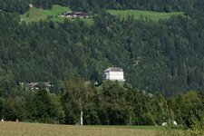
Since the 12th century, the ancient court castle Lengberg, located in the eponymous hamlet, is a crucial place for Nikolsdorf. It was constructed by the above mentioned Earls of Lechsgemünde, and was in the hands of the Archbishops of Salzburg for the several centuries. In the village itself rises the freedom monument, reminding on the setback Frenchmen suffered in 1797.
