A forest educational trail in Weissenbach am Lech takes you from the Lech Bridge to the idyllically situated Kneipp facility
Image gallery: Weissenbach am Lech
Altitude: 885 m a.s.l.
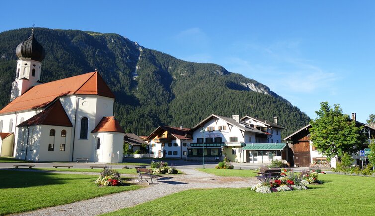
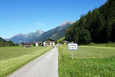
Weissenbach am Lech is located at the junction of the Lechtal valley and the Tannheimer Valley, more precisely at the foot of the Gaicht Pass, connecting the villages Weissenbach am Lech and Nesselwängle. In Middle ages, this 1,093 m high pass was used as Salt Road from Hall in Tirol to the Tannheimer Valley - today, here it is the only minable gypsum deposit of Tyrol.
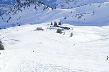
This old transit route is nowadays a well-known hiking and cycling trail, which takes you to beautiful Lake Haldensee in the Tannheimer Valley. On the southern shore of the lake there's Tauschers Alm, a mountain hut and rest point with large sun terrace, Tyrolean delicacies and a small fishing pond. In winter, a 1.2 km long toboggan run takes you from the Gaicht Pass down into the valley. On request, it stays illuminated once a week.
Are you interested in arts and culture? A Roman grave find testifies the early settlement of this area as well as the fact, that the village is located along the former Roman road Via Decia. Today, the sacral buildings of Weissenbach am Lech, including the Lourdes Chapel and the St. Sebastian Parish Church, are well worth seeing. Optimally combinable with a hike on the forest educational trail, however, it the visit to the Mary Help of Christians Pilgrimage Chapel.
