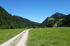
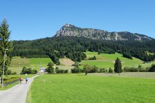
Behind the village, the trail to the 1,136 m high Mt. Oberjoch starts, taking to Germany and representing the national border
Image gallery: Schattwald
Altitude: 1,072 m a.s.l.
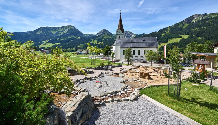
Schattwald with its hamlets and farms is the most western municipality of the Tannheimer Valley. The village, which was already a transition area in the Roman Age, was a popular hunting area later on. Today, it offers a generating station that supplies the entire valley with power.
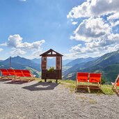
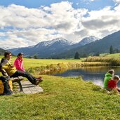
The Tannheimer Valley is a famous hiking area in Austria. One of the most popular destinations is the local mountain of Schattwald, the 1,907 m high Wannenjoch in the Allgäu Alps, offering a great view on the entire valley. Furtermore, the municipality features three challenging running and Nordic Walking courses and the moor pond "Floschen" - its water is believed to alleviate slight pains. A walk in the village, however, is a cultural trip: The St. Wolfgang Parish Church shows you 12 panels of the Dance of Death, the famous Danse Macabre.
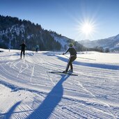
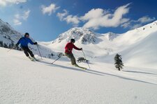
Together with Zöblen, Schattwald forms in winter the Schattwald-Zöblen Skiing Area with 15 km of ski slopes of all levels of difficulties, located on the Rohnenspitze and Wannenjoch mountains. If you prefer cross-country skiing, you can look forward to a vast network of trails leading across the Tannheimer Valley, that is connected to the cross-country trail network of the Bavarian Allgäu.
