If you are lucky, you can even see chamoises and ibexes in the unspoilt nature beneath the local mountain of Hinterhornbach
Image gallery: Hinterhornbach
Altitude: 1,101 m a.s.l.
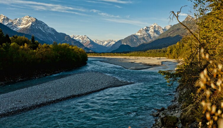
Hinterhornbach is located in the Hornbachtal valley, a side valley of the Lechtal. The settlement of the mountain village, which developed out of single farms, took place from the German Allgäu. Still today, sheep breeding is an important branch in the area, represented by the ram with its mighty horns on the coat of arms of the municipality.
Hinterhornbach is located at the foot of the 2,592 m high Hochvogel mountain, which can be scaled via the Schwabeck Mountain Huts at 1,696 m a.s.l. They offer a stunning view on the Hornbachkette mountain chain and are not managed, but represent an ideal place for a rest. If you aim even higher, a trail takes you to the east spur of the mountain, where it bifurcates: The path on the right leads to the 2,283 m high Kaltwinkelscharte ridge, the one on the left follows the Bäumenheimer Trail to the south-east precipices of the Hochvogel mountain.
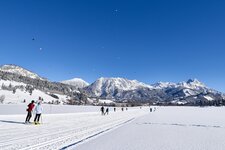
The road leading to Hinterhornbach is also very popular with cyclists. In winter, however, you may explore and enjoy the landscape on the 6.5 km long Hornbach Trail, one of the most snow-sure and most beautiful cross-country ski trails of the 190 km-long network of the Lechtal valley.
