At Rum there’s the “Mullerlaufen”, an ancient Carnival tradition, which has been included on the list of Intangible Cultural Heritage
Image gallery: Rum
Altitude: 621 m a.s.l.
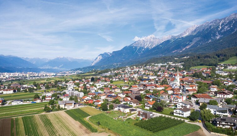
In the south of the Nordkette mountain chain there is the market town of Rum. It consists of the component localities Rum, boasting a Gothic parish church, Neu-Rum which is mainly made up of shopping centres and an industrial area, as well as Hoch-Rum, a residential area with a private hospital of the Sisters of the Cross. The town borders directly on Innsbruck: The centres of Hall in Tirol and Innsbruck are equidistant 5 km and easily accessible by means of public transport.
The villages Mühlau, Arzl, Thaur and Absam extend along this road, too. These five localities - together with Heiligkreuz, a quarter of Hall in Tirol - are known under the name of "MARTHA-Dörfer". These MARTHA Villages are home of the old Carnival tradition "Mullerlaufen", which has been included in the list of Intangible Cultural Heritage. The most important Carnival moves in this period are the one of Absam (Matschgerer) and of Rum and Thaur (Muller).
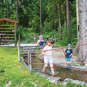
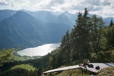
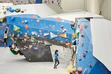
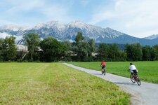
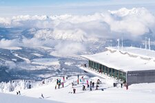
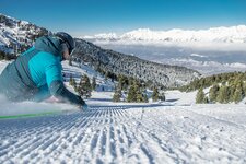
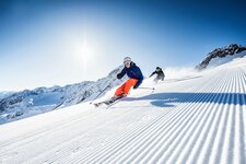
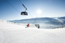
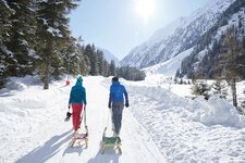
Rum is located at the foot of the Karwendel Alpine Park, the largest nature park of Austria. A network of well-marked hiking paths take you across this protected piece of land. Equally well-liked is the Geological Trail on the Nordkette: Five stations tell about the lagoons and coral reefs at 2,300 m a.s.l. on the Hafelekar, a place, where today one of the steepest ski routes of Europe starts. At the bottom of the valley, however, there are the Inn Cycle Route - Tiroler Unterland and the Rum Climbing Gym with boulder wall. In winter, the village is surrounded by skiing areas.
