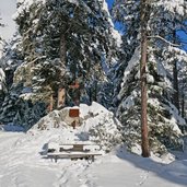
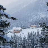
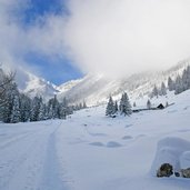
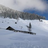
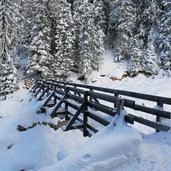
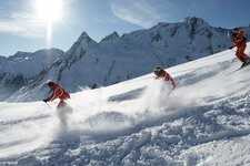
At the sunny Imster Bergbahnen skiing area in the Lechtal Alps we walk to the Untermarkter Mountain Hut along a sledge track
Image gallery: Winter hike to the Untermarkter Alm hut
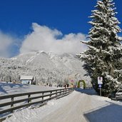
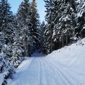
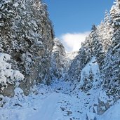
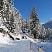
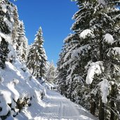
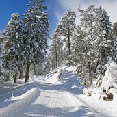
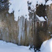
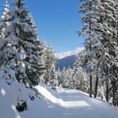
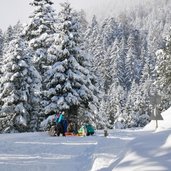
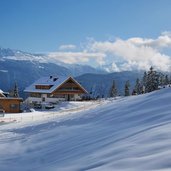
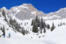
Starting point of our hike is the Hochimst parking space where we take the path no. 15 towards the Hachleschlucht gorge, always through the snowy landscape and with the Alpjoch and Platteinspitzen mountains in the background. The first 2 km the path proceeds quite flatly through the woods towards north until the path no. 615 (sledge track) to the Latschenhütte hut branches off. Here the ascent starts. The wide forest path is - as already mentioned - also a traced out sledge track, but today there are only few people.
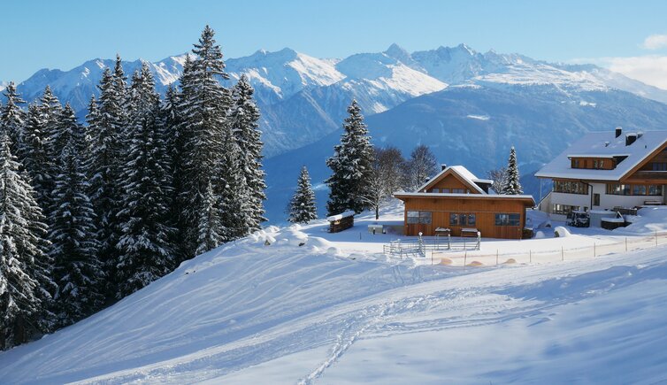
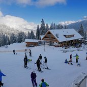
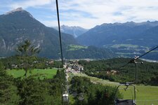
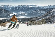
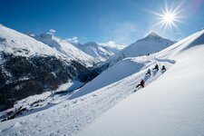
So we can enjoy the wintry nature and quiet to the fullest. Our original destination, the Latschenhütte mountain hut (1,200 m a.s.l.) is closed on Mondays in winter, so we walk a little further to the other side of the valley, where the Mountain Hut is located (1,500 m a.s.l.). At the edge of the Malchbach slope we walk the last steps downhill and reach the beautiful mountain hut, where we enjoy our deserved lunch. To return to our starting point, there are various possibilities: either again the 8 km long way there or by sledge or also by chair lift. No matter which one you choose, the view on the wintry alpine landscape is really impressive!
Notice: The data indicated refer to the entire route, including return trip, on foot.
Author: AT
-
- Starting point:
- Imst, Hochimst (parking space of the Imster Bergbahnen lift facilities)
-
- Time required:
- 04:50 h
-
- Track length:
- 16,6 km
-
- Altitude:
- from 1.019 m to 1.561 m
-
- Altitude difference:
- +634 m | -634 m
-
- Signposts:
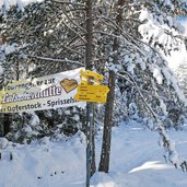
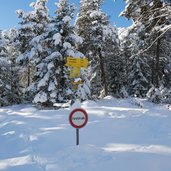
- no. 15, 615, Latschenhütte, 17, Untermarkter Alm (1,500 m asl)
-
- Destination:
- Untermarkter Mountain Hut
-
- Resting points:
- Untermarkter Alm (U-Alm)
-
- Recommended time of year:
- Jan Feb Mar Apr May Jun Jul Aug Sep Oct Nov Dec
-
- Download GPX track:
- Winter hike to the Untermarkter Alm hut
If you want to do this hike, we suggest you to check the weather and trail conditions in advance and on site before setting out.
