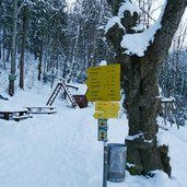
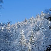
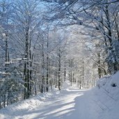
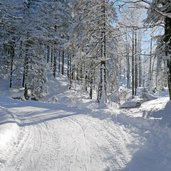
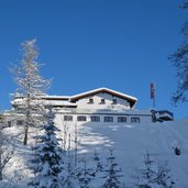
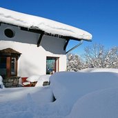
On the local mountain of Kufstein, the Aschenbrenner mountain inn is located right at the starting point of the sledge run
Image gallery: Winter hiking path and sledge run Kufsteiner Stadtberg
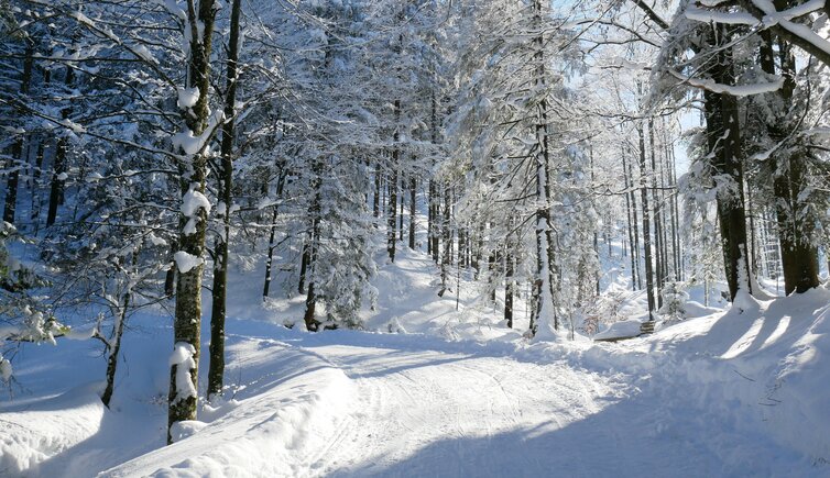
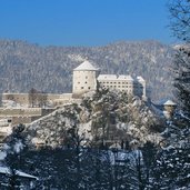
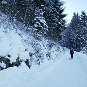
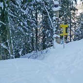
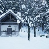
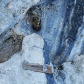
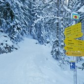
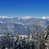
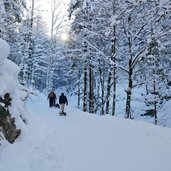
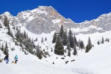
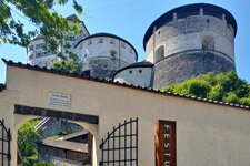
In the south of Kufstein, at the level of the fortress, the Stadtberg (town mountain) forest path starts at the end of the August Scherl Road. It proceeds up to the Forest Chapel and further to the Krampuswand rockface. Past the wetland area of Rossmoos we climb up the last section to the Jochboden, where the Berghaus Aschenbrenner restaurant is sunnily located at 1,135 m a.s.l.
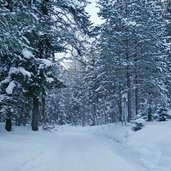
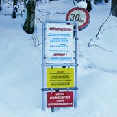
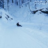
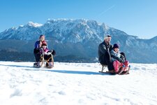
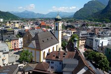
Until there, about 640 m in altitude along a distance of 5.2 km have to be managed. The entire route is surrounded by a dense forest, so the view on the Inntal valley near Kufstein is only available at the very top. The Aschenbrenner Inn offers winter hikers and tobogganists nice local food. Just the thing after our quite demanding ascent! The best of course is the downhill run by sledge - the 5.2 km long and moderately difficult Stadtberg sledge run is among the Tyrolean sledge runs with quality seal. At the Berghaus Aschenbrenner, sledges can be rented. The sledge run and the Aschenbrenner mountain inn are closed on Mondays!
Notice: The data indicated refer to the entire route, including return trip, on foot.
Author: AT
-
- Starting point:
- Kufstein (August Scherl Road)
-
- Time required:
- 03:10 h
-
- Track length:
- 12,4 km
-
- Altitude:
- from 493 m to 1.122 m
-
- Altitude difference:
- +637 m | -637 m
-
- Signposts:
- no. 814, Naturrodelbahn Stadtberg, Aschenbrennerhaus
-
- Destination:
- Berghaus Aschenbrenner (1,135 m a.s.l.)
-
- Resting points:
- Berghaus Aschenbrenner
-
- Recommended time of year:
- Jan Feb Mar Apr May Jun Jul Aug Sep Oct Nov Dec
-
- Download GPX track:
- Winter hiking path and sledge run Kufsteiner Stadtberg
If you want to do this hike, we suggest you to check the weather and trail conditions in advance and on site before setting out.
