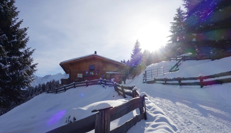
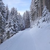
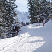
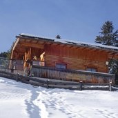
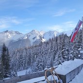
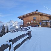
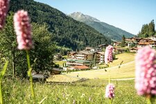
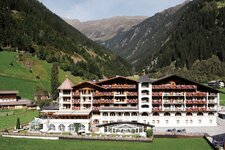
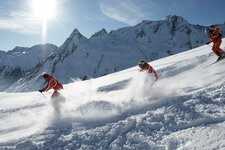
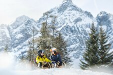
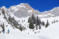
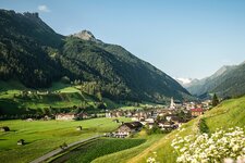
In the Stubaital valley the Brandstatt and Auffang Mountain Huts are located, which are connected to the valley by a sledge run
Image gallery: Winter hiking path and sledge run Brandstatt Alm
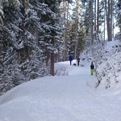
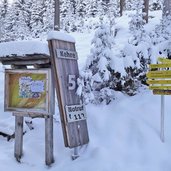
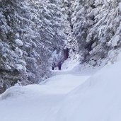
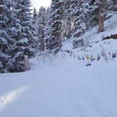
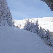
At Milders in Neustift in the Stubaital valley, the Oberberg Valley branches off to the north. We follow the valley road for about 4 km until the Josef parking space. This is where the sledge run and our winter hike start. In a total of eight serpentines the path leads through the snow-covered forest up to 1.800 m a.s.l. There lies the Brandstatt Mountain Hut which is also open in winter. After a 90-minute walk through the snowy landscape it is time for a refreshment at the hut.
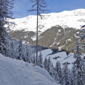
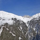
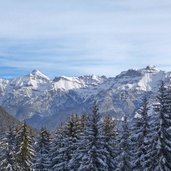
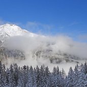
From the Brandstatt Mountain Hut we enjoy a fantastic view on Mt. Elfer and the Serles Ridge. The slightly lower located Auffang Alm mountain hut is closed in winter. After the break we enjoy our sledge ride down into the valley. Of course, you should never forget to be considerate of the oncoming hikers and ascending tobogganists, not least for your own safety.
Notice: The data indicated refer to the entire route, including return trip, on foot.
Author: AT
-
- Starting point:
- Josef parking space in the Oberberg Valley (Milders-Bärenbad)
-
- Time required:
- 02:20 h
-
- Track length:
- 7,5 km
-
- Altitude:
- from 1.402 m to 1.815 m
-
- Altitude difference:
- +416 m | -416 m
-
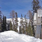
- Signposts:
- Brandstattalm, Rodelbahn (sledge run)
-
- Destination:
- Brandstatt Alm Mountain Hut (1,800 m a.s.l.)
-
- Resting points:
- Brandstattalm
-
- Recommended time of year:
- Jan Feb Mar Apr May Jun Jul Aug Sep Oct Nov Dec
-
- Download GPX track:
- Winter hiking path and sledge run Brandstatt Alm
If you want to do this hike, we suggest you to check the weather and trail conditions in advance and on site before setting out.
