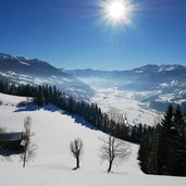
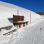
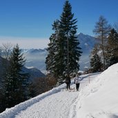
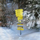
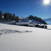
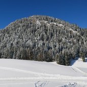
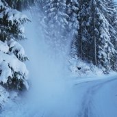
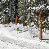
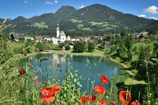
The panorama track proceeds from Reith im Alpbachtal to Hinterkogel and the mountain station of the Reither Kogel Cable Car
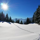
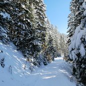
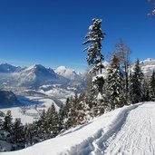
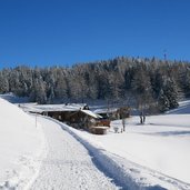
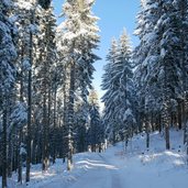
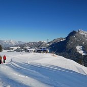
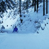
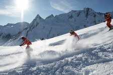
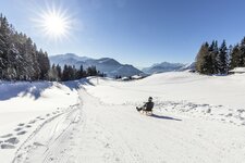
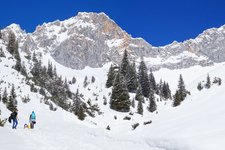
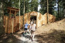
Image gallery: Winter hiking path and sledge run Reither Kogel
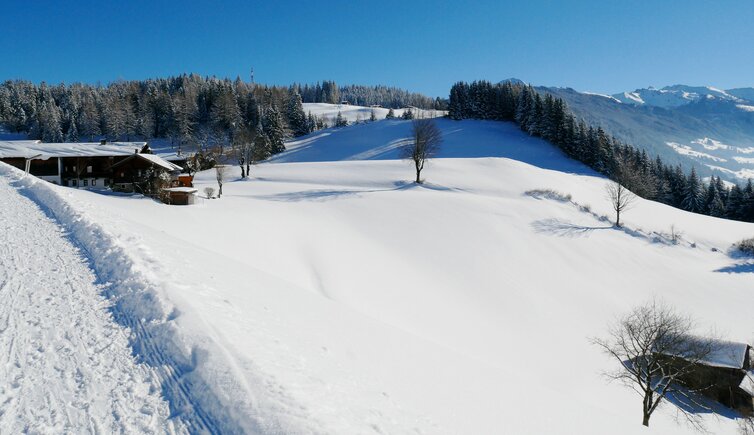
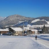
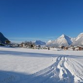
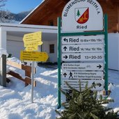
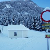
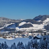
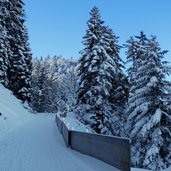
The forest road from Reith im Alpbachtal to the Nisslhof mountain inn at Mt. Reither Kogel is a popular MTB track in summer and a nice sledge run and panorama track in winter. We start in the village centre of Reith, follow the path to Ried and take then path no. R29 (Panoramaweg Reither Kogel) which proceeds past a chapel uphill through the forest. At some clearings we enjoy a beautiful view on the snowy Unterinntal valley between Münster and Kramsach.
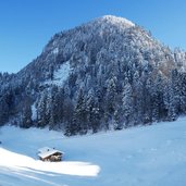
We leave the shady forest and reach the farms of Hinterkogel at about 1,150 m a.s.l. Here the view opens onto the Zillertal valley. At the viewpoint we have reached the endpoint of the sledge run but the path continues gently uphill (no. R11) to the Juppi Enchanted Forest, Fürsthof and to the Nisslhof farm at the mountain station of the Reither Kogel cable car. Of course the tobogganers can take the cable car from Reith up to the mountain station. There are only 1.5 km to walk (flat) until the starting point of the sledge run.
Notice: The data indicated refer to the entire route, including return trip, on foot.
Author: AT
-
- Starting point:
- Reith im Alpbachtal (village centre)
-
- Time required:
- 04:20 h
-
- Track length:
- 14,6 km
-
- Altitude:
- from 642 m to 1.199 m
-
- Altitude difference:
- +601 m | -601 m
-
- Signposts:
- R29, Panoramaweg Reither Kogel, R11
-
- Destination:
- Hinterkogel (1,150 m a.s.l.)
-
- Recommended time of year:
- Jan Feb Mar Apr May Jun Jul Aug Sep Oct Nov Dec
-
- Download GPX track:
- Winter hiking path and sledge run Reither Kogel
If you want to do this hike, we suggest you to check the weather and trail conditions in advance and on site before setting out.
