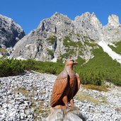
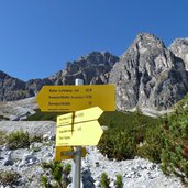
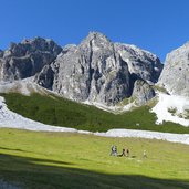
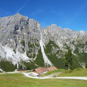
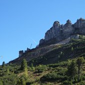
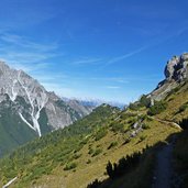
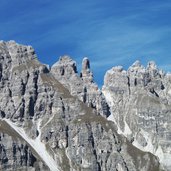
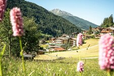
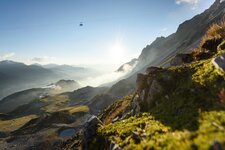
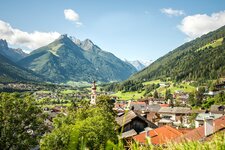
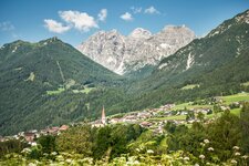
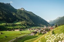
This hike leads us to the most beautiful viewpoint on the Kalkkögel mountains and the Stubaital valley
Image gallery: Hike to the Schlickeralm mountain hut
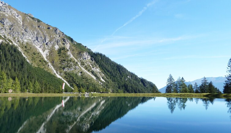
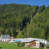
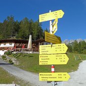
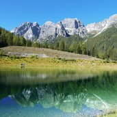
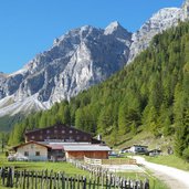
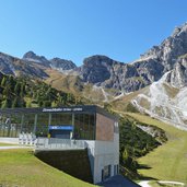
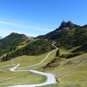
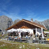
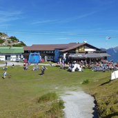
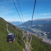
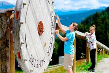
At Fulpmes in the Stubaital valley we take the Kreuzjoch Cable Car (Schlick 2000) up to the intermediate station at 1,370 m a.s.l. at the Brugger Mountain Hut. From here we follow the path no. 114, the Panoramasee forest road. After 30 minutes we reach the little lake, in which the Kalkkögel peaks are reflected. We carry on walking uphill along the Disc Trail Schlick 2000, and 15 minutes later we reach the Schlicker Mountain Hut (Schlickeralm) at 1,660 m a.s.l.
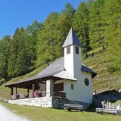
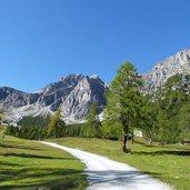
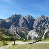
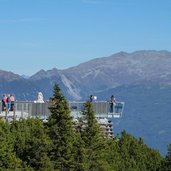
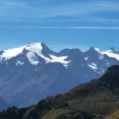
We stay on the path, which proceeds up the valley (no. 116) towards the Zirmach Mountain Hut (Zirmachalm). At about 1,900 m a.s.l. the path turns to the left and proceeds up the hill to the alpine pasture and further to the Sennjoch Mountain Hut (Sennjochhütte). Arrived there, at 2,230 m a.s.l., we enjoy a gorgeous view from Mt. Serles until the Stubai Glacier. A trail leads us to the mountain station of the cable car. In a few minutes we reach the Stubaiblick viewing platform, from where we have a fantastic view on the Kalkkögel mountains, the Karwendel Mountains and the Tux Alps. By the Kreuzjoch Cable Car we come down to Fulpmes again.
Author: AT
-
- Starting point:
- Kreuzjoch Cable Car intermediate station, Fulpmes in the Stubaital valley
-
- Time required:
- 03:20 h
-
- Track length:
- 9,7 km
-
- Altitude:
- from 1.360 m to 2.233 m
-
- Altitude difference:
- +921 m | -191 m
-
- Route:
- Lake Panoramasee - Schlicker Mountain Hut - Zirmach Mountain Hut - Sennjoch Mountain Hut - Kreuzjoch Cable Car - Stubaiblick viewing platform
-
- Destination:
- Kreuzjoch Cable Car mountain station
-
- Resting points:
- Schlickeralm, Zirmachalm, Sennjochstüberl, Panorama Restaurant Kreuzjoch
-
- Recommended time of year:
- Jan Feb Mar Apr May Jun Jul Aug Sep Oct Nov Dec
-
- Download GPX track:
- Hike to the Schlickeralm mountain hut
If you want to do this hike, we suggest you to check the weather and trail conditions in advance and on site before setting out.
