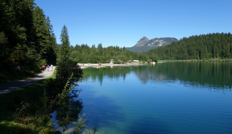
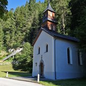
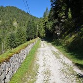
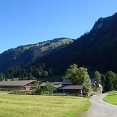
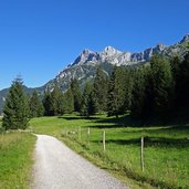
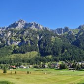
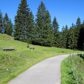
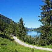
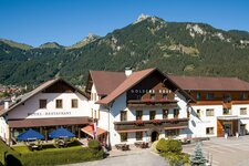
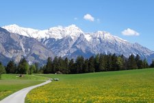
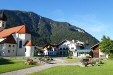
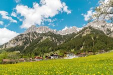
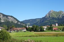
The route via the Old Gaicht Pass proceeds from Weissenbach in the Lechtal valley into the Tannheimer Valley: This ancient arterial road is nowadays a well-known hiking and cycling trail
Image gallery: Hike to Lake Haldensee
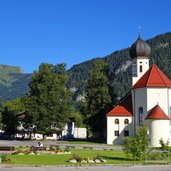
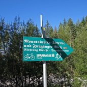
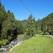
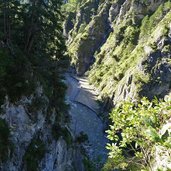
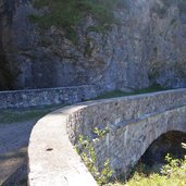
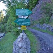
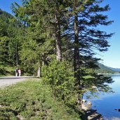
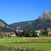
Around 1550 AD the Gacht Pass road (or Gaicht Pass) was built "for salt and wine transport purposes between Tyrol and the Allgäu". Nowadays the ancient road with its stone bridges over the Weissenbach Gorge is a protected monument. Thanks to the commitment of a separate committee, the road could remain unchanged and is now a well-known hiking and cycling trail. We start in Weissenbach am Lech and follow the course of the stream towards Untergaicht and the first signposts indicating "Alter Gachtpass". The path snakes its way at the steep slope above the gorge to the small hamlet of Gaicht.
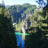
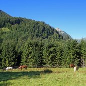
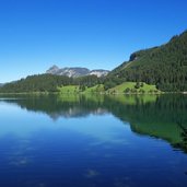
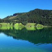
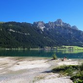
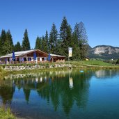
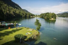
Here the valley opens up and we continue to the water divide near Nesselwängle, crossing the state road twice. The path leads us through the flat valley to beautiful Lake Haldensee. On the southern shore we reach the Tauschers Mountain Hut (Tauschers Alm), located in the surroundings of the village Haldensee near Grän. If you don't want to return along the same 10 km long route, we recommend to take the bus back to Weissenbach am Lech, our starting point.
Author: AT
-
- Starting point:
- Weissenbach am Lech (junction "Alte Gaichtpass Straße")
-
- Time required:
- 05:40 h
-
- Track length:
- 19,3 km
-
- Altitude:
- from 902 m to 1.171 m
-
- Altitude difference:
- +464 m | -464 m
-
- Signposts:
- Alter Gaichtpass (Gachtpass), no. 810, no. 1
-
- Destination:
- locality of Haldensee near Grän
-
- Resting points:
- Gasthof Gaichtspitze, Café Isi, Haldenseehaus, Tauscher's Alm
-
- Recommended time of year:
- Jan Feb Mar Apr May Jun Jul Aug Sep Oct Nov Dec
-
- Download GPX track:
- Hike to Lake Haldensee
If you want to do this hike, we suggest you to check the weather and trail conditions in advance and on site before setting out.
