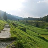
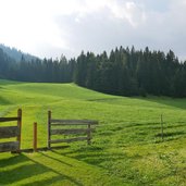
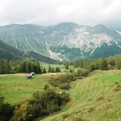
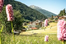
Circular hike in the area of the Tribulaune, four peaks of the Stubai Alps: The Alpine divide enchants with its landscape, shaped by the mighty forces of nature, also in autumn
Image gallery: Hike to Lake Obernberg
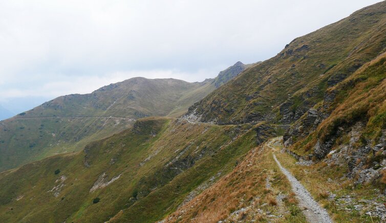
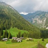
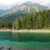
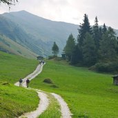
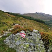
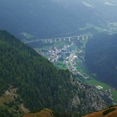
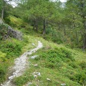
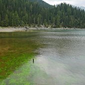
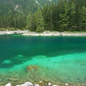
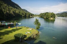
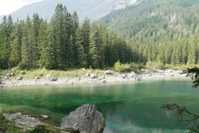
This autumn hike proceeds above the timber line and even across the Italian border. The path starts in the rear Obernberg Valley, more precisely at the parking space near the Waldesruh tavern. The trail no. 128 proceeds to the beautiful Lake Obernberg, an idyllic place beneath Mt. Small Tribulaun (2,492 m a.s.l.). We continue our hike on the eastern shore of the two-part lake.
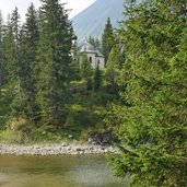
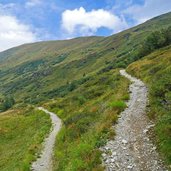
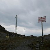
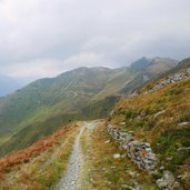
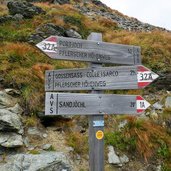
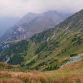
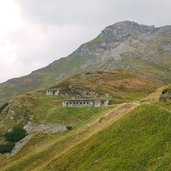
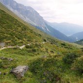
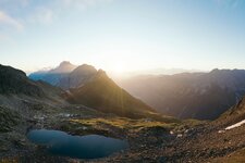
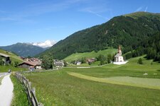
Near the Maria at the Lake Chapel, the path no. 97 to the Sandjoch saddle (also Sandjöchl) branches off on the left. It snakes its way across the heath until we reach the timber line. The Sandjoch saddle on the Alpine divide forms the border with South Tyrol - we cross it and continue our hike on the Alta Via di Fleres (no. 32A) towards west. Via the Portjoch saddle we return to Lake Obernberg (path no. 93) and finally to the Waldesruh tavern, our starting point.
Author: AT
-
- Starting point:
- Obernberg am Brenner, parking space at the head of the valley
-
- Time required:
- 05:30 h
-
- Track length:
- 16,0 km
-
- Altitude:
- from 1.443 m to 2.196 m
-
- Altitude difference:
- +842 m | -842 m
-
- Route:
- Oberreins Mountain Hut - Lake Obernberg - Sandjöchl saddle - Portjoch saddle - Lake Obernberg - Waldesruh tavern
-
- Signposts:
- no. 128, 97, 32A, 93, 128
-
- Recommended time of year:
- Jan Feb Mar Apr May Jun Jul Aug Sep Oct Nov Dec
-
- Download GPX track:
- Hike to Lake Obernberg
If you want to do this hike, we suggest you to check the weather and trail conditions in advance and on site before setting out.
