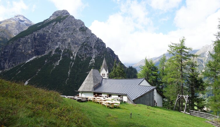
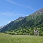
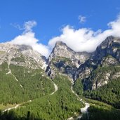
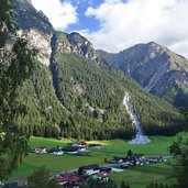
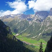
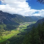
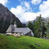
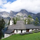
The pilgrimage church dedicated to Saint Magdalene is located on a beautiful clearing at the slope high above the Gschnitztal valley, at 1,660 m a.s.l
Image gallery: Hike to St. Magdalena in Gschnitz
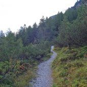
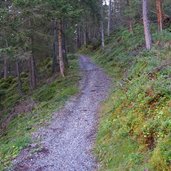
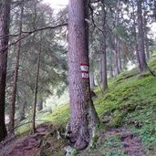
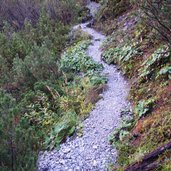
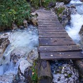
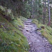
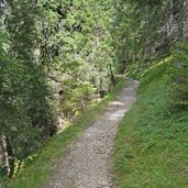
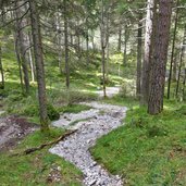
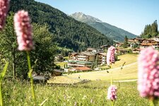
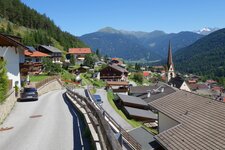
Nature along the main chain of the Alps turns autumnal in the second half of September. A day with variable - and often unpredictable - weather is great for this short hike from Gschnitz up to the place, where the former hermitage of "St. Magdalena auf dem Bergl auf dem Bergl" (St. Magdalene on the hill) is enthroned on a rock spur. In the village centre, just below the church, we cross the bridge over the Gschnitzbach stream to reach the path no. 52, leading through the Geigerwald forest towards east. The trail enters the Martairtal valley and crosses another bridge.
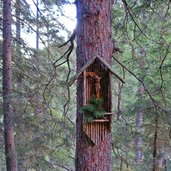
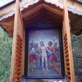
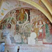
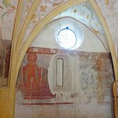
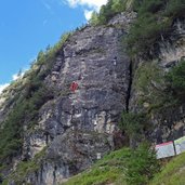
At the junction with the pilgrimage route starting from Trins, we follow this path for the last section of our hike. Arrived at the small Romanesque church, we admire the beautiful cycle of frescoes dating back to the 15th century. The building offers also a rest point. On the way back, we follow first the "Trinser Stationenweg" pilgrimage path to the climbing garden. Shorty afterwards, we turn to the left towards the Gschnitztal valley. Following the course of the Gschnitzbach stream on the Dammweg path, we come back to the village centre of Gschnitz.
Author: AT
-
- Starting point:
- Gschnitz (village centre)
-
- Time required:
- 02:20 h
-
- Track length:
- 6,8 km
-
- Altitude:
- from 1.228 m to 1.647 m
-
- Altitude difference:
- +429 m | -429 m
-
- Signposts:
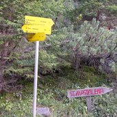
- no. 52, St. Magdalena, 52, 50, Dammweg
-
- Destination:
- St. Magdalene Pilgrimage Church
-
- Recommended time of year:
- Jan Feb Mar Apr May Jun Jul Aug Sep Oct Nov Dec
-
- Download GPX track:
- Hike to St. Magdalena in Gschnitz
