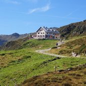
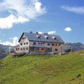
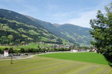
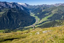
Far from main roads and lift facilities, the Rastkogelhütte mountain hut is located above a lonely valley in the Tux Alps
Image gallery: Hike to the Rastkogel-Hütte mountain hut
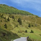
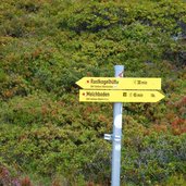
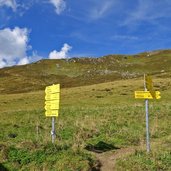
From Hippach via the Zillertal Mountain Road we reach the farms of Schwendberg. Until the Sportalm parking space the road is open to the public (the upper part is chargeable) and this is exactly where our hike starts. For about 1 km we follow the road. At the third bend we reach the junction, where the gravel road to the Rastkogel Mountain Hut (Rastkogel-Hütte) starts.
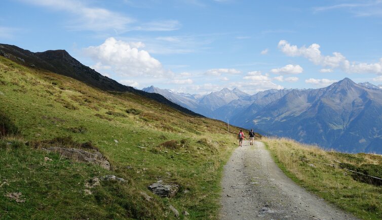
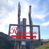
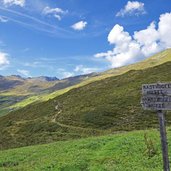
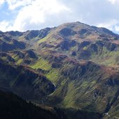
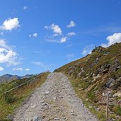
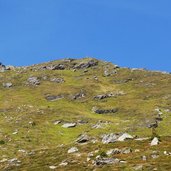
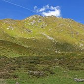
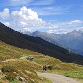
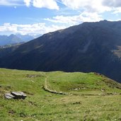
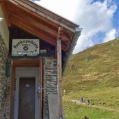
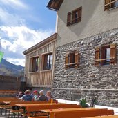
The gravel path leads directly to the hut. The meadow and heath landscape along the path opens up the view on the Sidantal valley with its alpine pastures and the alpine world from the Rastkogel via Rosskopf to the Rauhenkopf and across the Zillertal valley to the Zillertal Alps. After about 90 minutes we reach the Rastkogelhütte, a popular stopover in this part of the Tux Alps. From here, paths lead over the Sidanjoch to Hochfügen and the surrounding mountain peaks, including the 2,762 m high Rastkogel. An alternative way back leads down to the Sidanalm and from there directly to the Sportalm car park.
Author: AT
-
- Starting point:
- Schwendberg, Sportalm parking space (bus stop)
-
- Time required:
- 02:30 h
-
- Track length:
- 7,3 km
-
- Altitude:
- from 1.707 m to 2.101 m
-
- Altitude difference:
- +394 m | -394 m
-
- Signposts:
- Rastkogel-Hütte
-
- Destination:
- Rastkogel Mountain Hut
-
- Resting points:
- Rastkogel-Hütte
-
- Recommended time of year:
- Jan Feb Mar Apr May Jun Jul Aug Sep Oct Nov Dec
-
- Download GPX track:
- Hike to the Rastkogel-Hütte mountain hut
If you want to do this hike, we suggest you to check the weather and trail conditions in advance and on site before setting out.
