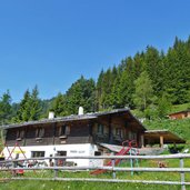
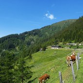
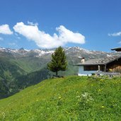
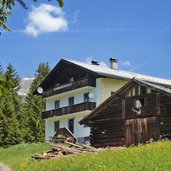
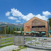
The Peer, Polten and Stöckl Mountain Huts are our destinations in this beautiful circular walking tour
Image gallery: Navis alpine pastures hike
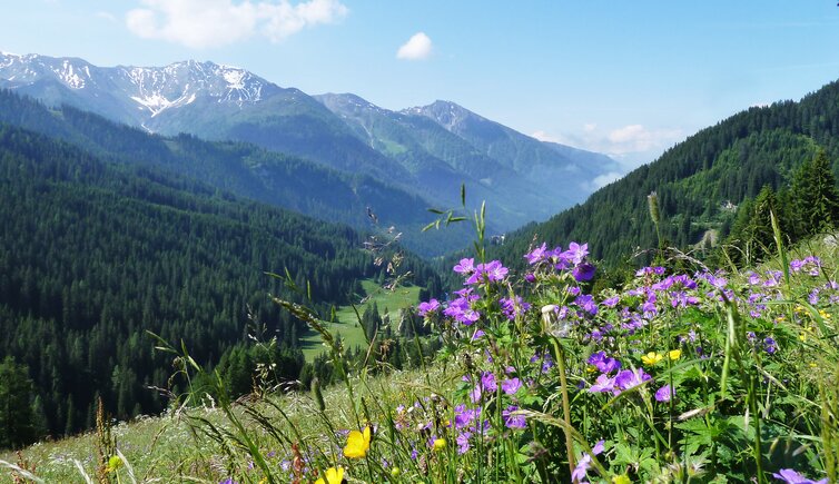
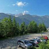
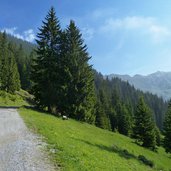
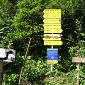
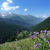
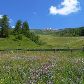
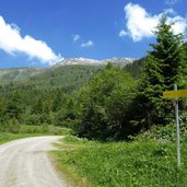
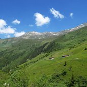
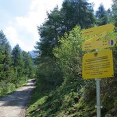
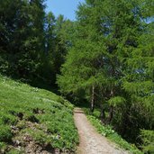
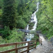
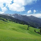
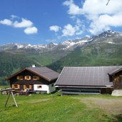
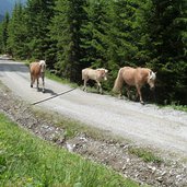
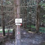
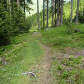
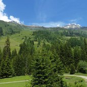
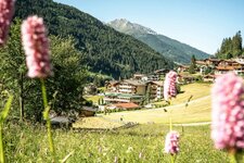
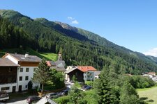
Our starting point is the parking space (chargeable) at the end of the asphalt road in Navis Oberweg. We follow the forest road towards the Peer Mountain Hut (Peer-Alm). First through the forest, then surrounded by alpine meadows, we follow the path into the valley until the junction to the Klamm Mountain Hut (Klammalm). Here we take the path towards the Polten and the Stöckl Mountain Huts, which proceeds at the southern side of the valley. We reach a blooming landscape with meadows where we enjoy a nice view before we start our descent, past the Navis Mountain Hut (Naviser Hütte) and then down into the valley to the stream.
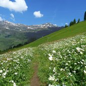
After a short ascent we reach our starting point again, the parking space. In early summer the blooming landscapes in the Tux Alps are really impressive during this hike. Those who want to extend the walking tour, can take the path to the idyllic Klamm Mountain Hut (after the Peer Hut) and walk from there to the Polten Hut along a high route. In total this means about 3 km more. If you do this variant, you will also entry the military training area of the Austrian Armed Forces.
Author: AT
-
- Starting point:
- Navis Oberweg (Grün parking space)
-
- Time required:
- 03:00 h
-
- Track length:
- 10,6 km
-
- Altitude:
- from 1.493 m to 1.881 m
-
- Altitude difference:
- +459 m | -459 m
-
- Route:
- parking space - Peer Mountain Hut - Polten Mountain Hut - Stöckl Mountain Hut - Navis Mountain Hut - parking space
-
- Resting points:
- Peer Alm, Stöckl Alm, Naviser Hütte mountain huts
-
- Recommended time of year:
- Jan Feb Mar Apr May Jun Jul Aug Sep Oct Nov Dec
-
- Download GPX track:
- Navis alpine pastures hike
If you want to do this hike, we suggest you to check the weather and trail conditions in advance and on site before setting out.
