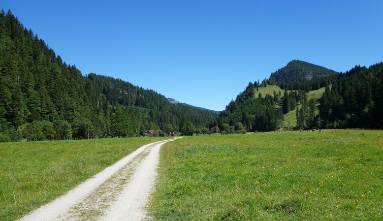
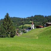
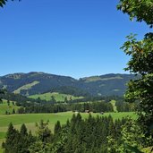
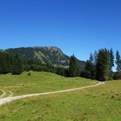
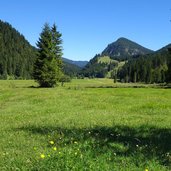
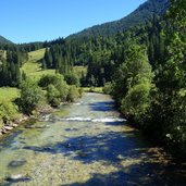
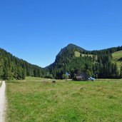
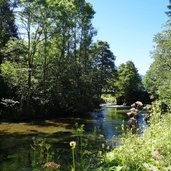
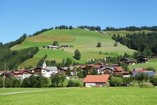
The Vils stream leaves the Tannheimer Valley near Schattwald and forces its way through the wild Vilstal valley until reaching the Bavarian Allgäu: A short segment is covered by gentle meadows
Image gallery: Hike to the Kalbelehof Alp in the Vilstal valley
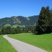
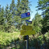
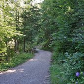
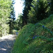
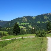
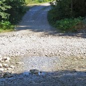
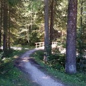
Starting from the parking space in Katzensteig near Zöblen in the Tannheimer Valley, we follow the course of the Vils stream along a field path to Schattwald. At a slightly lower located junction, we take the path no. 803 (Schattwald Kappl-Vilstal High Route) leading up to the highest point of our hike (1,110 m a.s.l.). The trail snakes its way through the mountain pastures and forests, and finally follows a meadow path downhill to the Kalbelehof Alp.
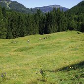
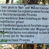
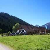
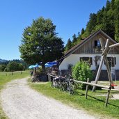
The mountain hut is located at 970 m a.s.l. Despite the easy access, you feel in a nearly magical place far away from the noise and hectic of everyday life. The culinary offer of the Kalbelehof Alp is modest, but the atmosphere is comfortable and inviting. By the way: The hut is located on Tyrolean territory, but it has been operated by Bavarian farmers since ancient times, they have brought the young cattle from Pfronten onto these mountain pastures. We return to Zöblen on the same road. The trail is also signposted as MTB trail, so take care!
Author: AT
-
- Starting point:
- Zöblen in the Tannheimer Valley
-
- Time required:
- 03:25 h
-
- Track length:
- 12,9 km
-
- Altitude:
- from 969 m to 1.102 m
-
- Altitude difference:
- +222 m | -222 m
-
- Signposts:
- no. 10, 803, 1, E4
-
- Destination:
- Kalbelehof Alp
-
- Resting points:
- Alpe Kalbelehof
-
- Recommended time of year:
- Jan Feb Mar Apr May Jun Jul Aug Sep Oct Nov Dec
-
- Download GPX track:
- Hike to the Kalbelehof Alp in the Vilstal valley
If you want to do this hike, we suggest you to check the weather and trail conditions in advance and on site before setting out.
