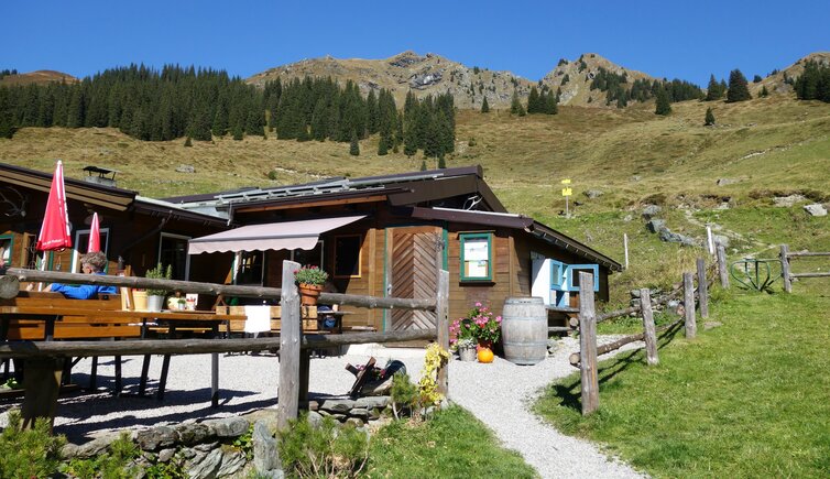
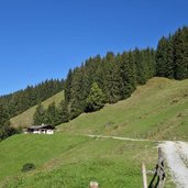
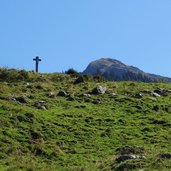
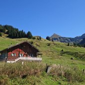
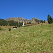
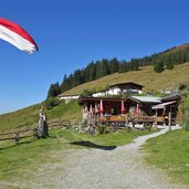
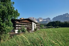
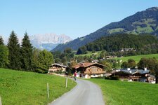
Above Aurach near Kitzbühel, at 1,570 m a.s.l., the Hochwild Mountain Hut is located: An ascent of the more pleasant kind leads us up to this sunny spot
Image gallery: Hike to the Hochwildalm mountain hut
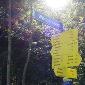
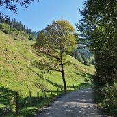
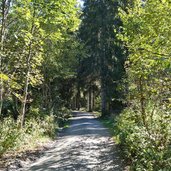
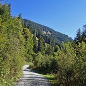
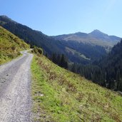
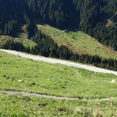
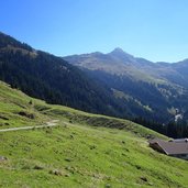
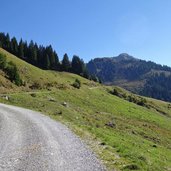
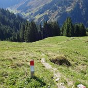
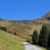
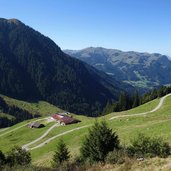
To reach the starting point of our hike, we have to drive on the Wildparkweg road from Aurach up to the Brander Reibe parking space. There the forest path to the Hochwild Mountain Hut branches off. In the first section the path leads slightly uphill through the forest and further in serpentines across the steep meadows of the Wildalm alp.
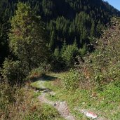
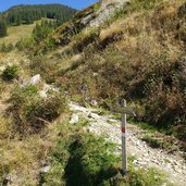
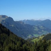
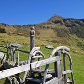
In total, approx. 500 metres in altitude have to be mastered. At the upper part of the path you can choose whether you want to walk along the forest road or to take the shorter, direct trail up to the Hochwildalm. At the mountain hut, located at approx. 1,500 m a.s.l., we enjoy a fantastic view on the surrounding Kitzbühel Alps. To return to our starting point we take the same route.
Author: AT
-
- Starting point:
- Aurach Wildparkweg path, Brander-Reibe parking space
-
- Time required:
- 03:30 h
-
- Track length:
- 8,1 km
-
- Altitude:
- from 1.059 m to 1.571 m
-
- Altitude difference:
- +515 m | -515 m
-
- Route:
- Wildalmgraben forest path - Hochwildalm
-
- Signposts:
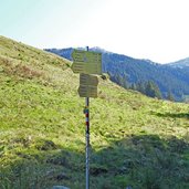
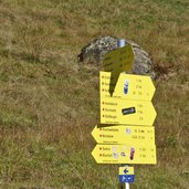
- no. 711, Hochwildalm
-
- Destination:
- Hochwildalm
-
- Resting points:
- Hochwildalm
-
- Recommended time of year:
- Jan Feb Mar Apr May Jun Jul Aug Sep Oct Nov Dec
-
- Download GPX track:
- Hike to the Hochwildalm mountain hut
If you want to do this hike, we suggest you to check the weather and trail conditions in advance and on site before setting out.
