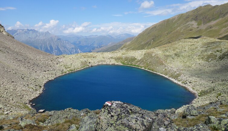
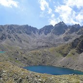
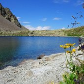
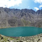
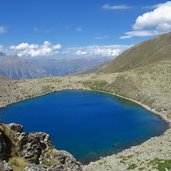
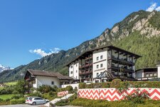
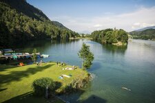
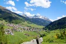
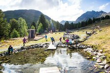
In the wild natural landscape on the main Alpine ridge, numerous high alpine lakes are located: This mountain hike leads to two particularly beautiful waters
Image gallery: Hike to the Goldseen on the Bergkastel
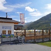
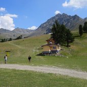
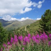
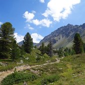
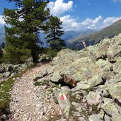
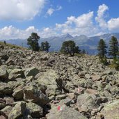
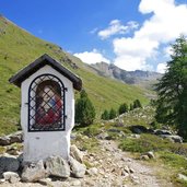
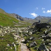
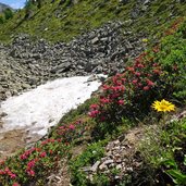
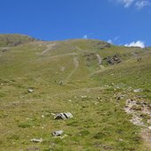
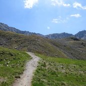
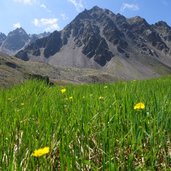
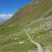
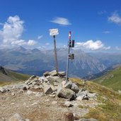
The Goldseen Lakes, two deep blue high alpine waters, are located in a stone and scree desert straight on the main Alpine ridge at approx. 2,600 m a.s.l. beneath Mt. Bergkastelspitze on the Resia Pass. The Bergkastel Cable Car take us up to 2,175 m a.s.l. Here, at the timber line, we follow the hiking path no. 33 and then no. 20 (Goldseen). The path leads through the valley called "Ganderbild", alternately through scree fields and high alpine heathland. The terrain is wild and untouched, characterised by the harsh conditions on the main Alpine ridge.
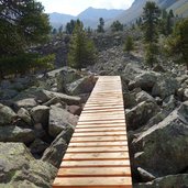
The rather short tour (4 km in each direction and less than 500 meters in altitude) is a bit more strenuous than similarly long tours due to the often stony terrain. Especially the last section at the lakes, particularly to Upper Lake Goldsee, requires easy climbing through scree fields and over rocks. You are rewarded with the view on the deep blue lakes in the bleak landscape beneath the Bergkastel. For our way back we take the same route. The only rest point is at the beginning of the hike at the Bergkastel Cable Car.
Author: AT
-
- Starting point:
- Nauders, Bergkastel mountain station
-
- Time required:
- 03:05 h
-
- Track length:
- 9,5 km
-
- Altitude:
- from 2.170 m to 2.577 m
-
- Altitude difference:
- +486 m | -486 m
-
- Route:
- Bergkastel mountain station - Ganderbild - Goldseen Lakes
-
- Signposts:
- no. 33, no. 20 (Goldseen)
-
- Destination:
- Goldseen Lakes
-
- Recommended time of year:
- Jan Feb Mar Apr May Jun Jul Aug Sep Oct Nov Dec
-
- Download GPX track:
- Hike to the Goldseen on the Bergkastel
If you want to do this hike, we suggest you to check the weather and trail conditions in advance and on site before setting out.
