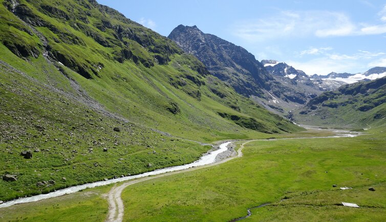
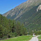
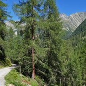
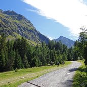
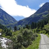
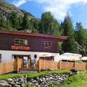
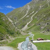
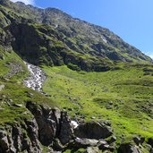
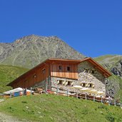
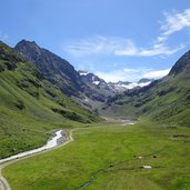
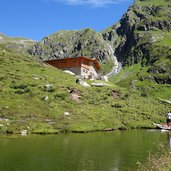
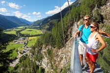
From Gries in the Sulztal valley the path climbs about 500 m in altitude over the timber line to the Hochalm Meadows at the foot of the Stubai Glaciers, where the Amberger Mountain Hut is located
Image gallery: Hike to the Amberger Hütte mountain hut
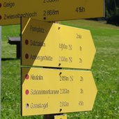
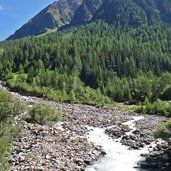
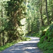
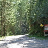
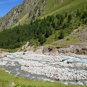
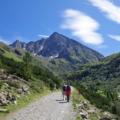
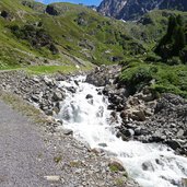
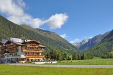
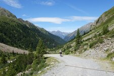
On good, wide gravel paths, the route no. 131 leads from the hiking car park near Gries in the Sulztal valley (municipality of Längenfeld) through the forest of the upper valley, always following the course of the rushing Fischbach stream. The trail leads first to the junction to the Nissl Mountain Hut (Nisslalm) and then further up the valley to the Sulztal Alpine Pastures. At the Lower Sulztal Mountain Hut more than half of the way is already done.
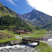
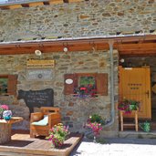
The mountain hut is a popular stop along the way. This is also where the steep ascent to the Upper Sulztal Mountain Hut begins. From there it is not far to the Amberger Mountain Hut, which is located behind a narrow section of the valley above the wide plain called "in der Sulze". The view over this impressive natural landscape extends to the glaciers on the Daunkogel (Sulztalferner). For our descent into the valley, back to the car park, we follow the same route.
Author: AT
-
- Starting point:
- Gries in the Sulztal valley (hiking car park)
-
- Time required:
- 03:30 h
-
- Track length:
- 11,2 km
-
- Altitude:
- from 1.588 m to 2.133 m
-
- Altitude difference:
- +564 m | -564 m
-
- Signposts:
- no. 131
-
- Destination:
- Amberger Hütte Mountain Hut
-
- Resting points:
- Sulzalm, Amberger Hütte
-
- Recommended time of year:
- Jan Feb Mar Apr May Jun Jul Aug Sep Oct Nov Dec
-
- Download GPX track:
- Hike to the Amberger Hütte mountain hut
If you want to do this hike, we suggest you to check the weather and trail conditions in advance and on site before setting out.
