Thanks to easy access by cable car, this alpine tour near Seefeld becomes a promising experience without major difficulties
Image gallery: Hike to the Seefelder Spitze peak
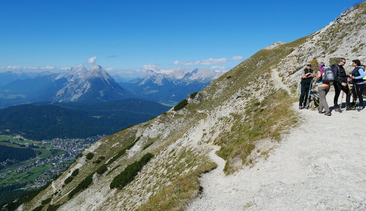
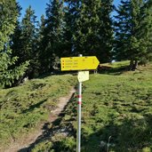
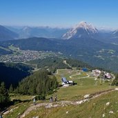
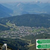
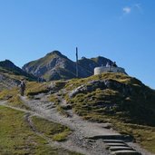
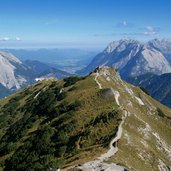
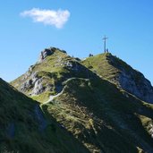
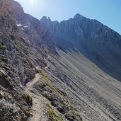
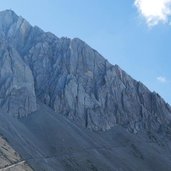
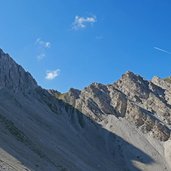
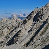
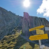
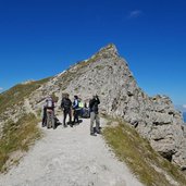
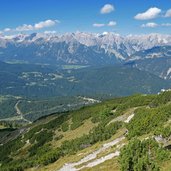
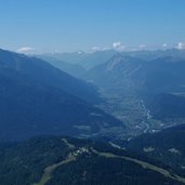
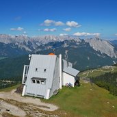
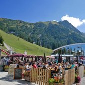
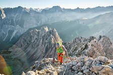
Mt. Seefelder Spitze and Mt. Härmelekopf belong to the most westerly peaks of the Karwendel Mountains. At Seefeld we take the funicular up to the Rosshütte Mountain Hut (1,740 m a.s.l.), where our hike starts. Path no. 10 proceeds from here along the slope up to the Seefelder Joch ridge (2,060 m a.s.l.). There the panorama path to Mt. Seefelder Spitze (2,221 m a.s.l.) starts. The view stretches from the Alpine divide across the Mieminger Range to the Zugspitze, and from Mittenwald an der Isar in Bavaria to the valleys of the Karwendel Mountains.
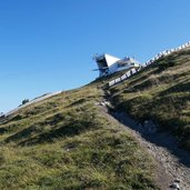
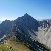
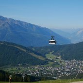
The path proceeds downhill and uphill again and reaches the Reither Scharte, a wind gap between Mt. Reither Spitze and Mt. Härmelekopf. These peaks can be climbed along fixed-rope routes. From here we follow path no. 79 which proceeds slightly downhill to the Härmelekopf mountain station. By this cable car we hover across the Hermannstal valley to the Rosshütte Hut where the funicular takes us down to Seefeld again. This 4 km long hike in the mountains can be managed within about 2 hours. Surefootedness is obligatory. On clear days the view is unforgettable!
Author: AT
-
- Starting point:
- Rosshütte mountain station, Seefeld
-
- Time required:
- 02:00 h
-
- Track length:
- 4,4 km
-
- Altitude:
- from 1.744 m to 2.215 m
-
- Altitude difference:
- +573 m | -256 m
-
- Route:
- Rosshütte Mountain Hut - Seefelder Joch ridge - Mt. Seefelder Spitze - Reither Scharte wind gap - Härmelekopf mountain station
-
- Signposts:
- no. 10, 79
-
- Destination:
- Härmelekopf mountain station
-
- Recommended time of year:
- Jan Feb Mar Apr May Jun Jul Aug Sep Oct Nov Dec
-
- Download GPX track:
- Hike to the Seefelder Spitze peak
