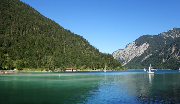
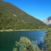
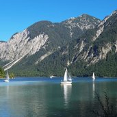
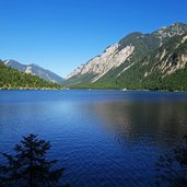
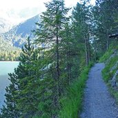
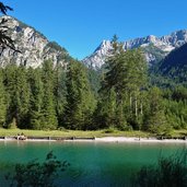
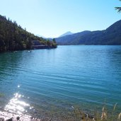
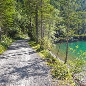
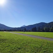
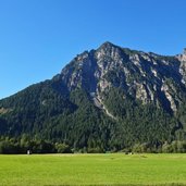
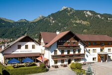
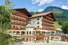
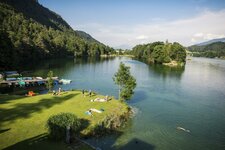
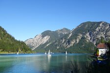
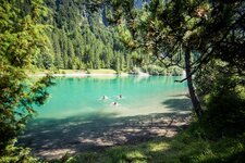
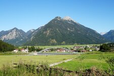
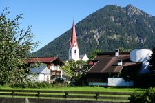
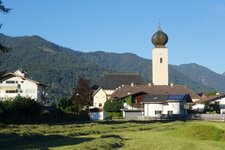
Lake Plansee and Lake Heiterwang are situated between the foothills of the Ammergau Alps, near Breitenwang and Reutte: A pleasant hike leads us through this beautiful natural scenery
Image gallery: Hike to the Plansee and Heiterwang lakes
If you want to do this hike, we suggest you to check the weather and trail conditions in advance and on site before setting out.
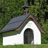
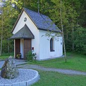
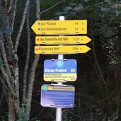
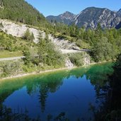
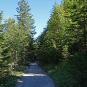
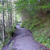
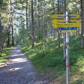
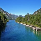
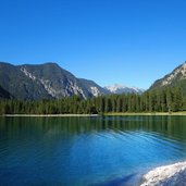
We start our hike in Breitenwang and follow the path no. 26 towards east, running parallel to the railway line. After crossing the Fern Pass road, the "Hurt am Schranken" path snakes its way through the forest until the junction with the Planseestrasse road. We follow this asphalt road for 1 km to the St. Hubertus Chapel and continue our walk along the edge of the forest to the Frauenbrünnle fountain and the shores of the Small Plansee lake (path no. 20). On the western bank of Lake Plansee, the trail no. 25 proceeds to the connection point with Lake Heiterwang.
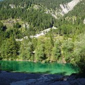
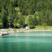
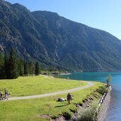
A bridge leads us to the southern shore of this "little brother" of Lake Plansee. Across the meadows we hike on a wide path towards west and the camping ground of the Hotel Fischer am See. This rest point invites to a stop and to enjoy the beautiful surroundings. Afterwards, we follow the "um den Tauern" path (no. 8) uphill through the Lähnwald forest, and return to Breitenwang, our starting point.
Author: AT
-
- Starting point:
- Breitenwang near Reutte
-
- Time required:
- 04:40 h
-
- Track length:
- 17,3 km
-
- Altitude:
- from 849 m to 1.177 m
-
- Altitude difference:
- +371 m | -371 m
-
- Route:
- "Hurt am Schranken" forest path - Small Plansee lake - Lake Plansee - Lake Heiterwang - Hotel Fischer - Tauernhütte - Lähnwald forest - Breitenwang
-
- Signposts:
- no. 26, 20, 25, 8
-
- Resting points:
- Restaurant Seespitze, Fischer am See
-
- Recommended time of year:
- Jan Feb Mar Apr May Jun Jul Aug Sep Oct Nov Dec
-
- Download GPX track:
- Hike to the Plansee and Heiterwang lakes
