The moderate hiking tour in the Stubaital valley leads to an emerald jewel with view on the Stubai Glacier
Image gallery: Hike to Lake Mutterberg
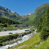
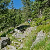
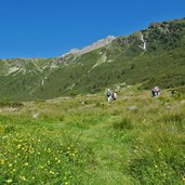
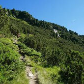
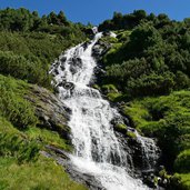
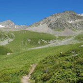
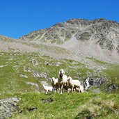
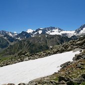
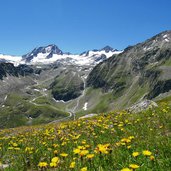
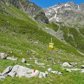
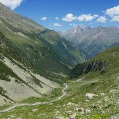
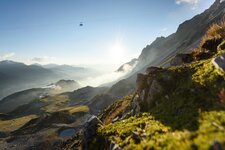
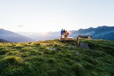
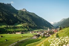
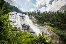
Starting point of our hiking tour is the parking space at the valley station of the Stubai Glacier lift facilities. The path starts on the northern side of the valley, east of the Grawa Waterfall. Right from the start we have to walk steeply uphill, first through the forest, then across wet meadows and through mountain pines. Finally we reach a high alp landscape at about 2,200 m a.s.l. After a while we find ourselves near a moor in an impressive and wild natural landscape.
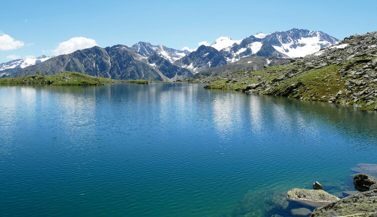
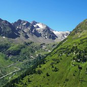
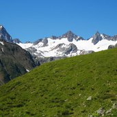
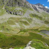
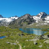
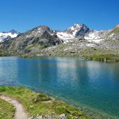
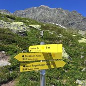
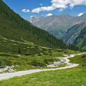
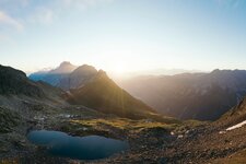
Only a short ascent more and our destination is reached - Lake Mutterberg. In the water the glaciers and the blue sky are reflected. Mt. Cima Libera, Mt. Cima del Prete and Mt. Pan di Zucchero, the three summits of the Main Alpine Ridge between the Stubaital and the Ridanna valleys (North Tyrol and South Tyrol), seem to be within reach. Now we walk downhill to the Stubai High Route which proceeds into the Mutterbergtal valley. Along this route we come back to our starting point at the valley station of the cable car. An alternative is to hike further to the Dresdner Mountain Hut (Dresdner Hütte, 2,308 m a.s.l.) and take the cable car down into the valley.
Author: AT
-
- Starting point:
- Stubai Glacier valley station
-
- Time required:
- 04:00 h
-
- Track length:
- 9,5 km
-
- Altitude:
- from 1.737 m to 2.472 m
-
- Altitude difference:
- +775 m | -775 m
-
- Route:
- Lake Mutterberg - Eagle Trail - Stubai High Route - Mutterberg Mountain Hut
-
- Signposts:
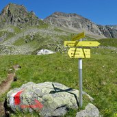
- 138, Adlerweg, Stubaier Höhenweg
-
- Recommended time of year:
- Jan Feb Mar Apr May Jun Jul Aug Sep Oct Nov Dec
-
- Download GPX track:
- Hike to Lake Mutterberg
If you want to do this hike, we suggest you to check the weather and trail conditions in advance and on site before setting out.
