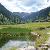
This valley hike takes us from the Moderstock tavern via the Erla-Brennhütte to the Tiefental Alm inn
Image gallery: Langer Grund valley hike
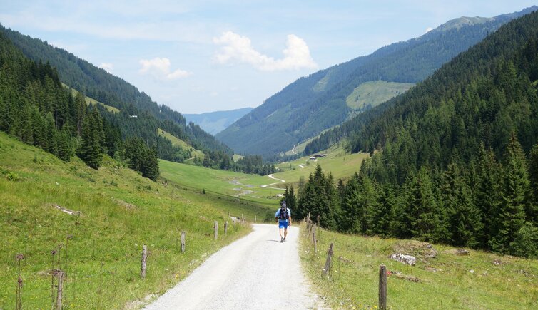
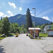
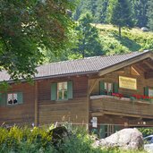
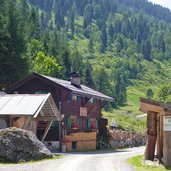
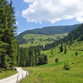
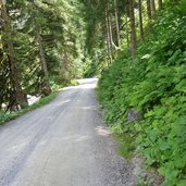
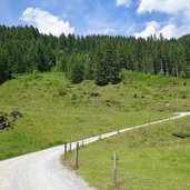
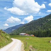
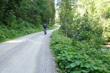
To reach the starting point, we drive from Hopfgarten in the Brixental valley via Kelchsau to the Moderstock tavern. The last few kilometres there we travel on an asphalt toll road. From the tavern we continue on foot: We follow the flat to slightly ascending alpine road which leads through the Langer Grund. After about one hour we reach the Brennhütte snack station (also called Erla-Hütte or Erlauerhütte) - here we have managed about half of the way.
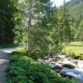
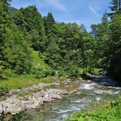
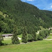
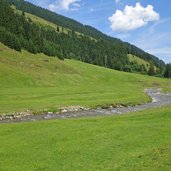
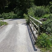
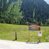
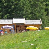
The landscape changes from longer sections through the alpine meadows on the valley floor to shorter sections through the forest or at the edge of the forest. At the Erlauer Pastures, the valley becomes wider, finally we cross a bridge to the west side of the Langer-Grund-Ache river to a short, slightly steeper ascent, which leads us directly to our destination at about 1,450 m a.s.l. - the Tiefental Mountain Hut. The snack station offers simple food and a richer choice of drinks, which we enjoy after this easy, but with more than 2 hours, somewhat longer walk through the nature. Later we return on the same path.
Author: AT
-
- Starting point:
- Kelchsau, Moderstock tavern
-
- Time required:
- 04:10 h
-
- Track length:
- 15,7 km
-
- Altitude:
- from 1.018 m to 1.449 m
-
- Altitude difference:
- +432 m | -432 m
-
- Signposts:
- Tiefentalalm
-
- Destination:
- Langer Grund, Tiefental Alm Mountain Hut
-
- Resting points:
- Brennhütte, Tiefental Alm
-
- Recommended time of year:
- Jan Feb Mar Apr May Jun Jul Aug Sep Oct Nov Dec
-
- Download GPX track:
- Langer Grund valley hike
If you want to do this hike, we suggest you to check the weather and trail conditions in advance and on site before setting out.
