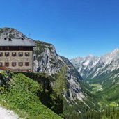
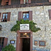
Extensive but easy valley hike through the Karwendel Nature Park to the beautiful Karwendel Mountain Hut on the Hochalm Saddle at 1,800 m a.s.l
Image gallery: Hike to the Karwendelhaus mountain hut
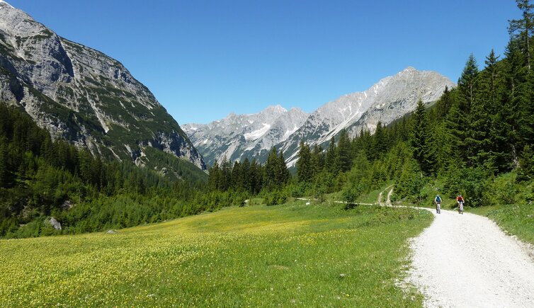
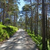
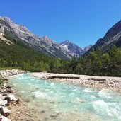
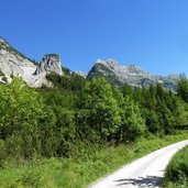
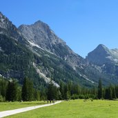
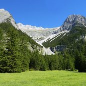
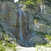
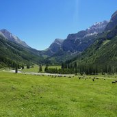
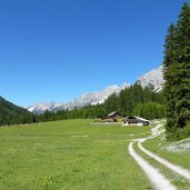
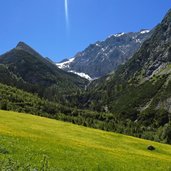
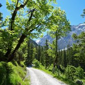
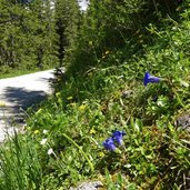
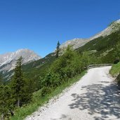
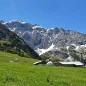
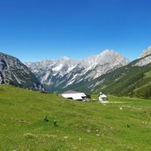
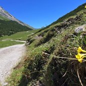
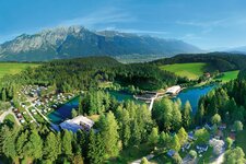
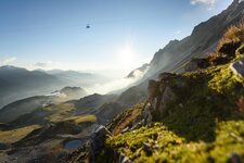
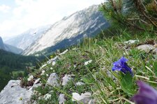
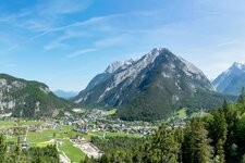
The Karwendel Valley stretches from the village of Scharnitz through the Karwendel Mountains to the Hochalmsattel saddle at 1,800 m a.s.l., where the well-known Karwendelhaus is located. This mountain hut is an important base for multi-day tours through the Karwendel Alpine Park. The trail overcomes 16 km and an altitude difference of 800 m - the hiking path is mostly flat, the last section, however, is quite steep and follows a wide path winding up in serpentines (400 m of altitude difference). The Karwendeltal is a beautiful valley lined with coniferous forests and mountain pastures, dominated by the peaks of the Northern Karwendel Mountains and the Hinterautal Mountains. The continuous flow of the Karwendelbach stream accompanies our hike.
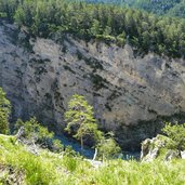
Plan a whole day for the hike and schedule at least 4 hours for each direction. A good stamina is necessary! If you would like to shorten this hike, you can book either a shuttle service for the way back or an overnight stay at the Karwendel Mountain Hut (Karwendelhaus). The trail is quite easy and has no particular demands, but it is - as mentioned above - very long. The landscape and nature of the Karwendel Valley are unique: The gentle valley and the rugged rock faces are a fascinating ensemble and magic backdrop.
Author: AT
-
- Starting point:
- Scharnitz, Karwendeltäler parking space
-
- Time required:
- 07:30 h
-
- Track length:
- 32,4 km
-
- Altitude:
- from 982 m to 1.747 m
-
- Altitude difference:
- +834 m | -834 m
-
- Signposts:
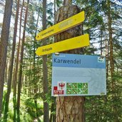
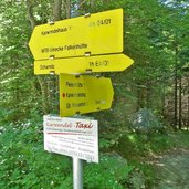
- Karwendeltal, no. E4, Karwendelhaus
-
- Destination:
- Karwendel Mountain Hut
-
- Resting points:
- Karwendelhaus
-
- Recommended time of year:
- Jan Feb Mar Apr May Jun Jul Aug Sep Oct Nov Dec
-
- Download GPX track:
- Hike to the Karwendelhaus mountain hut
If you want to do this hike, we suggest you to check the weather and trail conditions in advance and on site before setting out.
