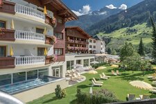
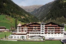
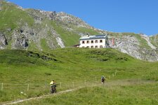
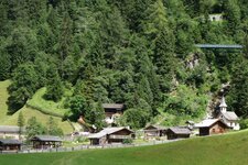
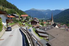
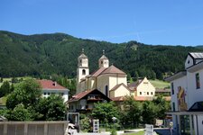
This 10 km long walk from Trins through the Gschnitztal valley leads us to the Mill Village at the head of the valley
Image gallery: Gschnitztal valley hike
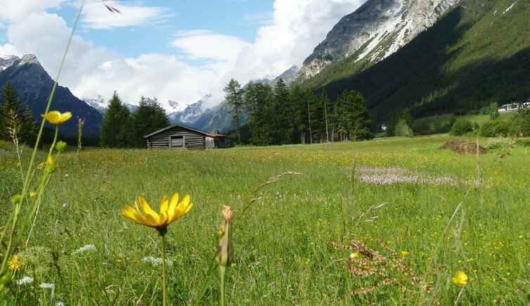
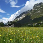
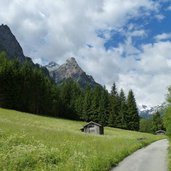
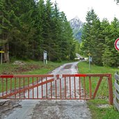
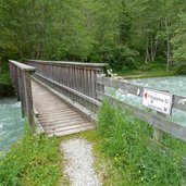
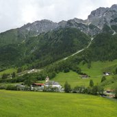
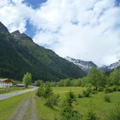
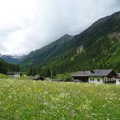
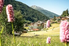
Starting point of our nice walking tour through the Gschnitztal valley is Trins, the first village at the entrance of the valley. We pass Schneeberg Castle and walk downhill to the Gschnitzbach brook which we cross. Along the south bank we walk into the valley. The first section proceeds along asphalted forest roads. In June, many meadows are a sea of flowers.
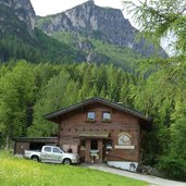
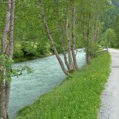
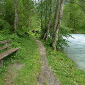
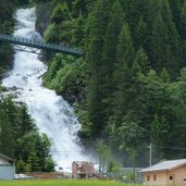
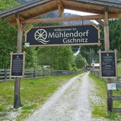
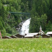
We walk past the Pumafalle tavern, the road turns into a forest path, and later along a trail through the wood on the shore of the stream, past the village of Gschnitz. At the head of the valley we reach the Feuerstein tavern, named after the 3,267 m high mountain which dominates the valley. Beside the tavern, the Mill Village Gschnitz is located straight below the waterfall of the Sandesbach stream. It is an open-air museum which informs about the utilisation of water in former times. For our way back we take the same route, it is also possible to go back by bus.
Author: AT
-
- Starting point:
- Trins in the Gschnitztal valley
-
- Time required:
- 02:50 h
-
- Track length:
- 10,2 km
-
- Altitude:
- from 1.191 m to 1.299 m
-
- Altitude difference:
- +188 m | -126 m
-
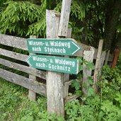
- Signposts:
- no. 102, Wiesen- und Waldweg
-
- Destination:
- Mühlendorf
-
- Resting points:
- Pumafalle, Gschnitzerhof, Alpenrose, Gasthof Feuerstein
-
- Recommended time of year:
- Jan Feb Mar Apr May Jun Jul Aug Sep Oct Nov Dec
-
- Download GPX track:
- Gschnitztal valley hike
If you want to do this hike, we suggest you to check the weather and trail conditions in advance and on site before setting out.
