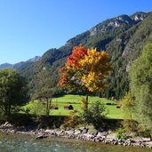
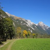
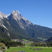
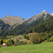
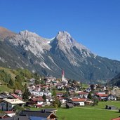
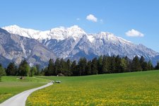
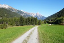
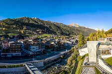
This hiking trail through the Stanzertal valley from Schnann to St. Anton am Arlberg is also accessible with prams and wheelchairs
Image gallery: Hike on the Rosannaweg path
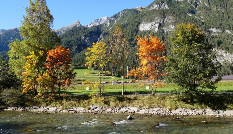
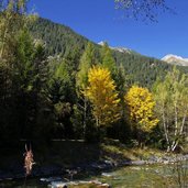
The Rosanna river rises in the Verwall Group and drains the Stanzertal valley between St. Anton and the lower end of the valley at Pians, where it joins the Trisanna to form the Sanna river and flows into the Inn at Landeck. This leisurely walk follows the course of the Rosanna from Schnann to St. Anton. Starting in Schnann we walk over the Rosanna bridge and follow the path on the south side of the Rosanna river. The path remains on the southern bank of the river until St. Anton and largely corresponds to the Stanzertal Cycle Route.
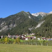
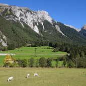
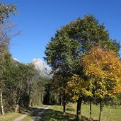
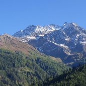
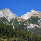
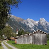
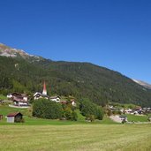
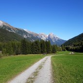
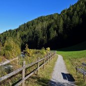
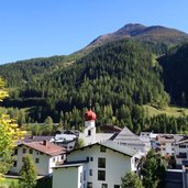
The path is mostly a wide gravel path, only short sections are asphalted, and leads along the alluvial forest and across meadows. Only the last section to St. Anton is a bit steeper. The 10 km long way can be mastered in less than 3 hours and has no difficulty at all. We are accompanied by the rushing of the river and can enjoy nice views on the villages and the Lechtal Alps. You can use the regular bus to return to the starting point.
Author: AT
-
- Starting point:
- Schnann
-
- Time required:
- 02:50 h
-
- Track length:
- 10,4 km
-
- Altitude:
- from 1.164 m to 1.290 m
-
- Altitude difference:
- +205 m | -99 m
-
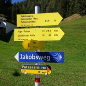
- Signposts:
- Rosannaweg, Stanzertal Cycle Route
-
- Destination:
- St. Anton am Arlberg
-
- Recommended time of year:
- Jan Feb Mar Apr May Jun Jul Aug Sep Oct Nov Dec
-
- Download GPX track:
- Hike on the Rosannaweg path
If you want to do this hike, we suggest you to check the weather and trail conditions in advance and on site before setting out.
