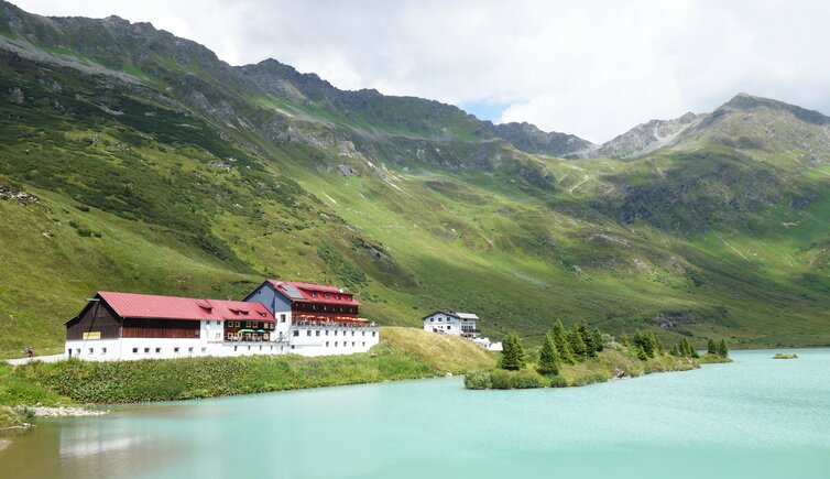
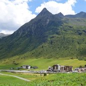
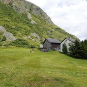
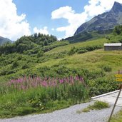
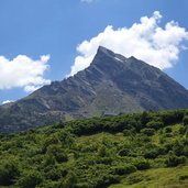
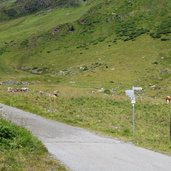
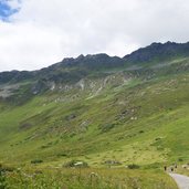
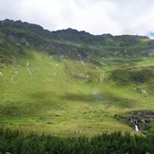
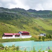
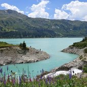
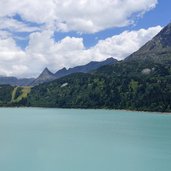
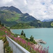
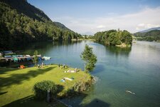
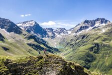
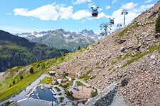
Lake Kops and Lake Zeinis - these two lakes are located at the transition from the Tyrolean Paznauntal valley to the Montafon in Vorarlberg: This nice tour leads through the alpine pastures
Image gallery: Hike on the Walserweg path to the Zeinisjoch
The Walserwege paths are a network of footpaths of more than 1,000 km length between the villages of the Walser, who inhabited the upper ends of numerous Alpine valleys between the Italian Val d'Aosta and Tyrol in the 13th and 14th century. The eastern end of the path network, is the path which leads from Galtür to the Montafon in Vorarlberg. We follow this trail to the Zeinisjoch ridge, where Lake Zeinis and the Kops Reservoir are located.
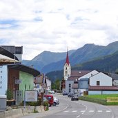
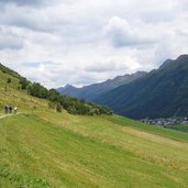
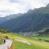
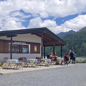
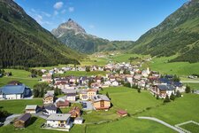
In Galtür we cross the Trisanna river and take the valley path which follows the meadows at the sunny slope towards west. At the level of the district of Wirl, the path leads to the Zeinisjoch road which we follow towards the Zeinisjoch ridge and further to Lake Zeinis. Past the tavern we take the road to the "Kops-See-Rundweg" circular path, which we follow to the Kopssee Stüberl snack bar. It is possible to walk over the dam wall and then to round the lake.
Author: AT
-
- Starting point:
- Galtür, village centre
-
- Time required:
- 03:30 h
-
- Track length:
- 13,4 km
-
- Altitude:
- from 1.575 m to 1.846 m
-
- Altitude difference:
- +392 m | -392 m
-
- Signposts:
- Walserweg, Zeinis, Kopssee
-
- Destination:
- Kopssee Stüberl
-
- Resting points:
- Zeinisjoch Mountain Hut, Kopssee Stüberl snack bar
-
- Recommended time of year:
- Jan Feb Mar Apr May Jun Jul Aug Sep Oct Nov Dec
-
- Download GPX track:
- Hike on the Walserweg path to the Zeinisjoch
If you want to do this hike, we suggest you to check the weather and trail conditions in advance and on site before setting out.
