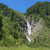
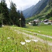
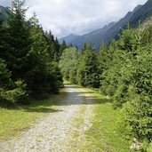
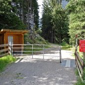
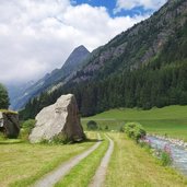
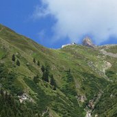
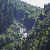
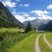
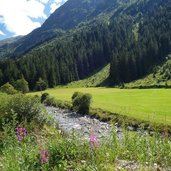
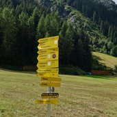
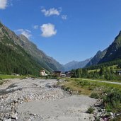
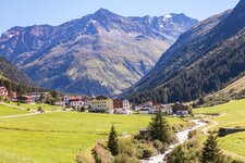
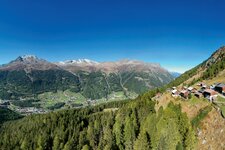
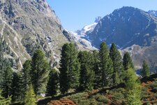
The valley path runs through the entire Pitztal valley as a cycle and hiking route: We follow the upper part on the bank of the Pitze stream and make a side trip up to 3,440 m a.s.l
Image gallery: Pitztal valley hike and glacier visit
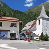
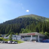
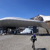
A nice walk along the brook and as a bonus an excursion to the "Roof of Tyrol"? Both can be combined well in a day tour - at least in the beautiful Pitztal valley. Starting point of our walk is the village of Trenkwald above St. Leonhard: Of course you can start from any hamlet in the valley and make the hike longer or shorter. From Trenkwald, for example, it takes about 2 hours to Mittelberg, where the cable car starts up to the Pitztal Glacier.
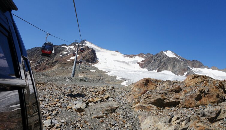
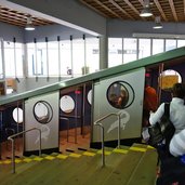
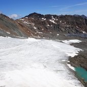
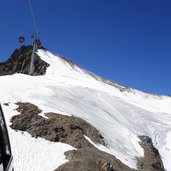
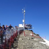
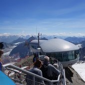
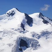
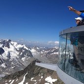
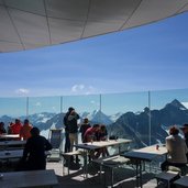
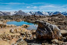
The mountain railway tickets are not quite cheap, but the trip is something very special. First the tunnel funicular to the Mittagskogel, then we continue in the panorama cabins of the Wildspitz Cable Car. At the rear Mt. Brunnenkogel we probably have the most beautiful view which we can reach with such little effort: in front of us the snow-white slopes of Mt. Wildspitze, with 3,772 m the highest peak of North Tyrol and the Ötztal Alps. And a panoramic view that stretches from the peaks of the Engadine to the Ortles and the Dolomites, to the peaks of the Stubai and Zillertal valleys and the Northern Limestone Alps. The panorama restaurant at the mountain station at 3,440 m a.s.l. invites to a visit, it is also the highest located bakery in Europe.
The information on time, distance and difference in altitude relates to the hiking section Trenkwald - Mittelberg. For the trip with the funiculars to the Hinterer Brunnenkogel (+1700 m difference in altitude) and back and the associated breaks, allow about 2 hours.
Author: AT
-
- Starting point:
- Trenkwald near St. Leonhard in the Pitztal valley
-
- Time required:
- 04:00 h
-
- Track length:
- 12,8 km
-
- Altitude:
- from 1.502 m to 1.727 m
-
- Altitude difference:
- +218 m | -218 m
-
- Signposts:
- Talwanderweg, Mittelberg
-
- Destination:
- Valley station Gletscher Express (hiking part); Hinterer Brunnenkogel 3438 m (by funicular / cable car)
-
- Resting points:
- Bergwerk Plangeross, Siglu, Kristall (mountain station Tunnelbahn), Cafè Bakery Wildspitzbahn mountain station (3430 m)
-
- Recommended time of year:
- Jan Feb Mar Apr May Jun Jul Aug Sep Oct Nov Dec
-
- Download GPX track:
- Pitztal valley hike and glacier visit
If you want to do this hike, we suggest you to check the weather and trail conditions in advance and on site before setting out.
