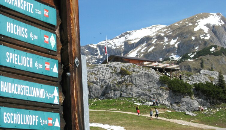
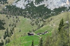
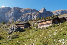
A great natural landscape as well as a majestic panoramic view characterise the Enzianweg path in the Rofan Mountains
Image gallery: Gentian Trail
A really varied hiking path is the so-called Enzianweg, which means Gentian Trail. The hiking path starts at the valley station or mountain station of the Rofan Cable Car. From this place the path proceeds via the Mauritz Mountain Hut the way up to the east edge of Mt. Gschöllkopf, and further on to Mt. Hochiss (2,299 m a.s.l.), which is the highest mountain of the Rofan Group.
Proceeding down towards Mt. Streichelkopf, you reach the Dalfaz Mountain Hut, where you can of course stop for a bite to eat. From this place you can proceed on foot or via cable car into the valley. Otherwise you can walk to Buchau and go back to the valley station of the Rofan Cable Car by bus. Due to its particular natural beauty as well as its cultivation and marking, the Gentian Trail has been awarded with the special honouring "Bergweg mit Auszeichnung".
-
- Starting point:
- mountain station of the Rofan Cable Car
-
- Time required:
- 02:10 h
-
- Track length:
- 5,1 km
-
- Altitude:
- from 1.692 m to 2.258 m
-
- Altitude difference:
- +441 m | -579 m
-
- Signposts:
- Enzianweg
-
- Destination:
- Dalfaz Alm Mountain Hut
-
- Resting points:
- Dalfaz Alm Mountain Hut
-
- Recommended time of year:
- Jan Feb Mar Apr May Jun Jul Aug Sep Oct Nov Dec
-
- Download GPX track:
- Gentian Trail
If you want to do this hike, we suggest you to check the weather and trail conditions in advance and on site before setting out.
