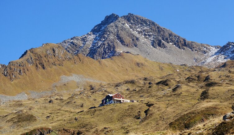
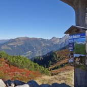
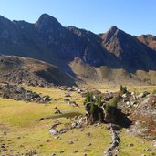
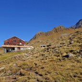
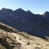
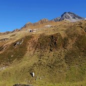
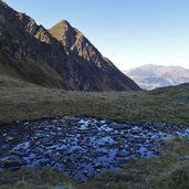
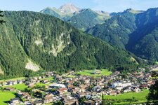
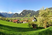
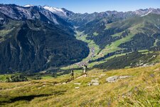
This easy hike to the well-known mountain hut of the Austrian Alpine Association below Mt. Ahornspitze in Mayrhofen leads through the heathland and alpine pastures above the 2,000-metre mark
Image gallery: Hike to the Edelhütte mountain hut
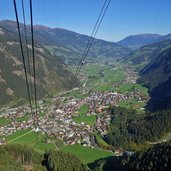
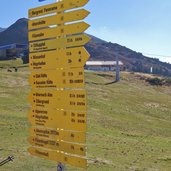
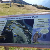
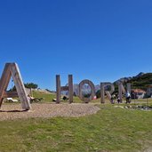
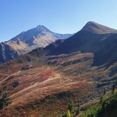
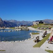
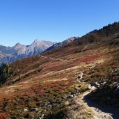
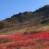
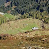
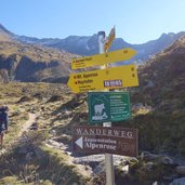
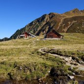
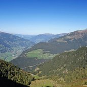
In Mayrhofen in the Zillertal valley we board the Ahorn Cable Car which takes us up to 1,950 m a.s.l. At the mountain station our hike starts: Past the Ahornsee, an artificial bathing lake, we reach the entrance to the Zillertal Alps Nature Park. We walk through the heathland and enjoy the view on the Zillertal valley towards north. After a bend at the slope of Mt. Filzenkogel the path is slightly ascending and we choose path no. 42 at the junction, via the Fellenberg Hochleger Alp.
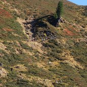
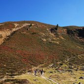
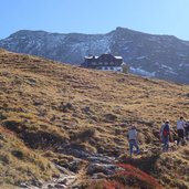
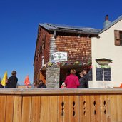
The last section to the Karl-von-Edel Mountain Hut proceeds along the steep slope in several serpentines. Like this we finally reach our destination at more than 2,240 m a.s.l. After lunch we return to the mountain station. In the upper section you can choose the alternative route 514. This hike, with a slight difference in altitude, proceeds along well maintained paths and is therefore also recommended for hikers with less experience. But attention: Be always careful when hiking in the high mountains!
Author: AT
-
- Starting point:
- Mayrhofen, Ahorn mountain station
-
- Time required:
- 02:50 h
-
- Track length:
- 6,5 km
-
- Altitude:
- from 1.951 m to 2.244 m
-
- Altitude difference:
- +346 m | -346 m
-
- Route:
- mountain station - Lake Ahorn - Fellenbergalm Hochleger Alp - Karl-von-Edel Mountain Hut
-
- Signposts:
- Edelhütte, no. 514, 42
-
- Destination:
- Edelhütte
-
- Resting points:
- Edelhütte
-
- Recommended time of year:
- Jan Feb Mar Apr May Jun Jul Aug Sep Oct Nov Dec
-
- Download GPX track:
- Hike to the Edelhütte mountain hut
If you want to do this hike, we suggest you to check the weather and trail conditions in advance and on site before setting out.
