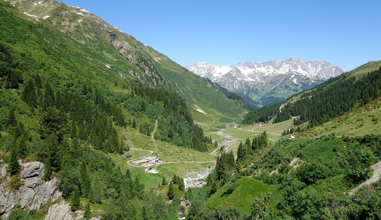
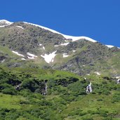
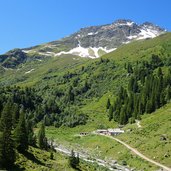
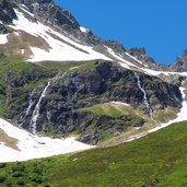
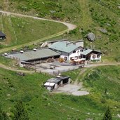
The Tritschalpe snack station is located in the Moostal valley at 1,730 m a.s.l.: This idyllic place in the middle of the Verwall Mountains can be reached in an easy hike from St. Anton am Arlberg
Image gallery: Hike from St. Anton to the Tritschalpe inn
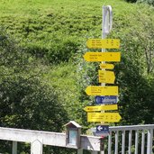
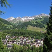
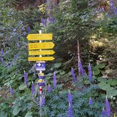
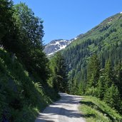
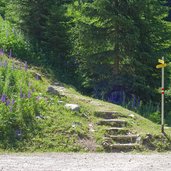
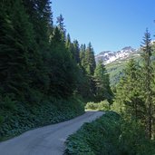
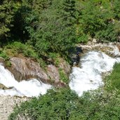
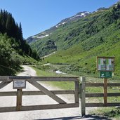
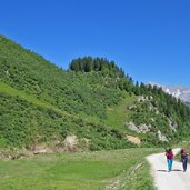
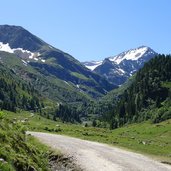
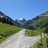
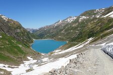
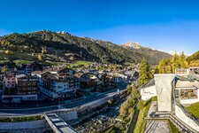
In St. Anton we cross the bridge over the Rosanna river and follow the sign "Darmstädter Hütte" (path no. 513). The forest road leads along the meadow slope to the forest, meets later the Rendl ski slope and turns into the Moostal valley. During the ascent the view on St. Anton and the Lechtal Alps rising to the sky opens. While the valley gorge runs deeply below us in the first section of the trail, the Moosbach stream and the road approach later and meet at the beginning of the alpine meadow landscape in the inner Moostal valley.
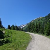
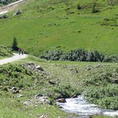
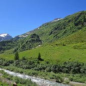
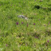
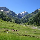
Green pastures, and on the slopes heather and alpine roses, characterise the broadening valley floor. The path now runs almost flat until it branches off to the right to the Tritschalpe. In a few minutes from here we reach the mountain hut and look forward to our lunch. Later we will return on the same path.
Author: AT
-
- Starting point:
- St. Anton am Arlberg, Rendlbahn valley station
-
- Time required:
- 03:20 h
-
- Track length:
- 10,1 km
-
- Altitude:
- from 1.304 m to 1.744 m
-
- Altitude difference:
- +471 m | -471 m
-
- Signposts:
- no. 513, 18a, Tritschalpe
-
- Destination:
- Tritschalpe Mountain Hut
-
- Resting points:
- Tritsch Alpe
-
- Recommended time of year:
- Jan Feb Mar Apr May Jun Jul Aug Sep Oct Nov Dec
-
- Download GPX track:
- Hike from St. Anton to the Tritschalpe inn
If you want to do this hike, we suggest you to check the weather and trail conditions in advance and on site before setting out.
