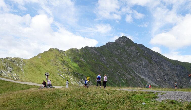
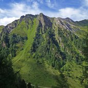
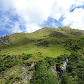
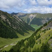
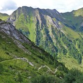
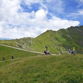
From Ladins in the rear Schmirntal valley we hike up to the 2,338 m high Tuxer Joch ridge, which is the crossing to the Zillertal valley
Image gallery: Hike to the Tuxerjochhaus mountain hut
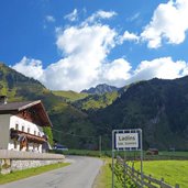
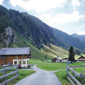
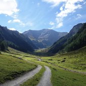
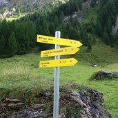
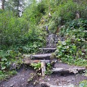
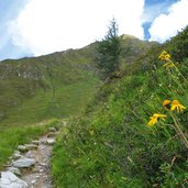
Not for no reason, the Schmirntal valley in the Tux Alps is well-known for its untouched nature. For thousands of years the path across the Tuxer Joch ridge has been used by the people, today we want to follow this route. Starting point is the village of Ladins, at the head of the Schmirntal valley. From here we follow the path to the Kasern Mountain Hut where it becomes a forest road and proceeds further into the valley. After about 2 km, at approx. 1,750 m a.s.l., we reach a signpost, which suggests two routes to come to the Tuxer Joch ridge: either straight up, or via the 2,541 m high Frauenwand rockface. We choose the first option (no. 324) and come to a steep trail, which proceeds uphill through the forest (partly also steps).
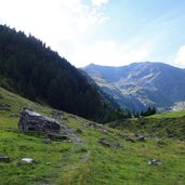
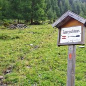
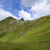
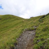
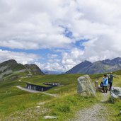
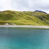
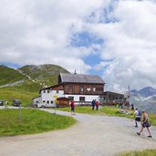
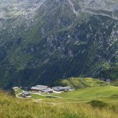
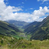
We reach the timberline and enjoy a gorgeous view on the surrounding alpine world. The last section proceeds through a heath and meadows, where alpine flowers and herbs are blooming. Arrived at the top we reach the snow-making reservoir of the skiing area in which the Hintertux Glacier is reflected. Again 1 km straight ahead and we reach the Tuxerjoch Mountain Hut at 2,313 m a.s.l. (Tuxerjochhaus, rest point). We are rewarded by a gorgeous view on the surroundings of the Tux Alps and the villages in the valley. For our way back we take the same route.
Author: AT
-
- Starting point:
- Ladins, Schmirntal valley
-
- Time required:
- 04:30 h
-
- Track length:
- 15,6 km
-
- Altitude:
- from 1.608 m to 2.334 m
-
- Altitude difference:
- +757 m | -757 m
-
- Route:
- Ladins - Kasern Mountain Hut - snowmaking reservoir - Tuxerjoch Haus Mountain Hut
-
- Signposts:
- 324, Tuxerjochhaus
-
- Destination:
- Tuxerjoch Haus
-
- Resting points:
- Tuxerjoch Haus
-
- Recommended time of year:
- Jan Feb Mar Apr May Jun Jul Aug Sep Oct Nov Dec
-
- Download GPX track:
- Hike to the Tuxerjochhaus mountain hut
If you want to do this hike, we suggest you to check the weather and trail conditions in advance and on site before setting out.
