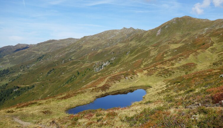
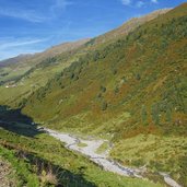
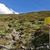
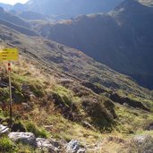
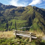
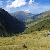
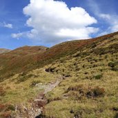
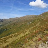
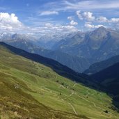
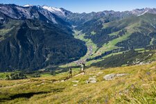
The 2,127 m high Sidanjoch ridge in the Tux Alps separates Schwendberg and the Sidantal valley from the Finsingtal valley, embedded in a seemingly untouched high alpine natural landscape
Image gallery: Hike from Hochfügen to the Sidanjoch ridge
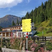
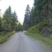
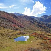
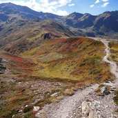
While the landscape in the valley is still summery, the early September in the high mountains already presents itself in autumnal colourful splendour. On a hike to the Sidanjoch ridge one feels almost transported to the lonely Siberian tundra, although one is only a few kilometres away from villages and winter sports centres. In one of the Zillertal wintersports centres, in Hochfügen, our hiking tour starts. From the parking space we follow the path no. 24 towards the Rastkogel. At the beginning our route follows the valley road through the Finsingtal, a gravelled forest road.
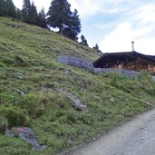
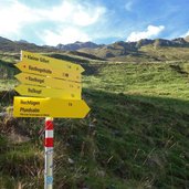
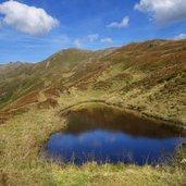
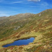
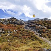
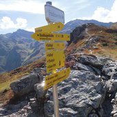
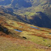
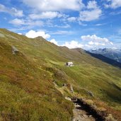
Past the Pfundsalm-Niederleger Mountain Hut we walk to the Mitterleger Mountain Hut of the Pfundsalm. After a bend, the hiking route no. 24 leaves the driveway and climbs up the meadow slope as a narrow trail. The higher we climb the more beautiful and wilder the landscape becomes. Just below the Sidanjoch ridge there are plenty of ponds in which the sky is reflected. At the ridge, various hiking routes are crossing. A nearby destination, about 30 minutes away, is the Rastkogel Mountain Hut. But the ascent is also worthwhile without hiking any further: The view stretches from the Zillertal Main Ridge to the closer peaks of the Tux Alps.
Author: AT
-
- Starting point:
- Hochfügen
-
- Time required:
- 03:50 h
-
- Track length:
- 10,4 km
-
- Altitude:
- from 1.487 m to 2.115 m
-
- Altitude difference:
- +628 m | -628 m
-
- Signposts:
- no. 24, Rastkogelhütte
-
- Destination:
- Sidanjoch ridge
-
- Recommended time of year:
- Jan Feb Mar Apr May Jun Jul Aug Sep Oct Nov Dec
-
- Download GPX track:
- Hike from Hochfügen to the Sidanjoch ridge
If you want to do this hike, we suggest you to check the weather and trail conditions in advance and on site before setting out.
