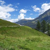
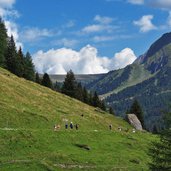
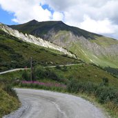
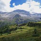
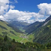
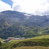
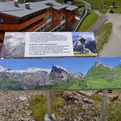
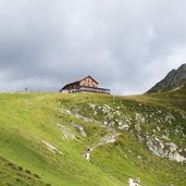
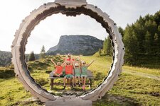
Below the Hintertux Glacier, at 2,000 m a.s.l., the Sommerberg Mountain Hut is accessible within an easy mountain hike
Image gallery: Hike to the Sommerbergalm mountain hut
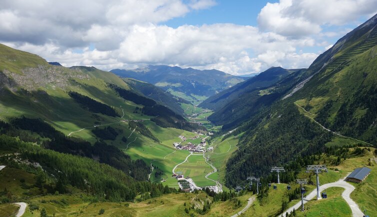
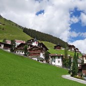
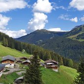
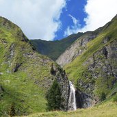
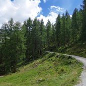
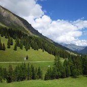
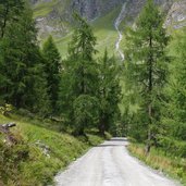
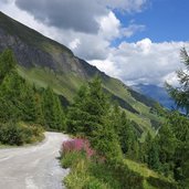
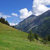
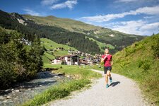
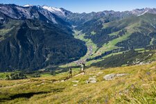
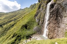
In winter a popular skiing area, in summer a famous hiking region - these are the Hintertux Mountain Huts. In the small village of Hintertux the hiking path (no. 17 and 324) starts. After about 3 km we reach the Bichlalm Mountain Hut, an ensemble of a farm and several huts which also offer food and drink. We carry on along a comfortable wide forest road, reach the timber line and enjoy a gorgeous view on the valley. Not far we catch sight of the Schleier Waterfall.
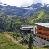
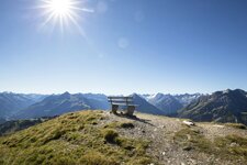
The path proceeds until the Sommerberg Mountain Hut (Sommerbergalm) where the mountain station of the Hintertux Cable Car is located. There is the possibility to hike further towards the Hintertux Glacier or the Tuxerjoch Mountain Hut (Tuxerjochhaus, 2,313 m a.s.l.). On the glacier there's the Glacier Flea Park, the highest located adventure playground in Europe. But we decide to stay and enjoy the impressive view across the valley. For our way back we take the same route (alternatively you can take the cable car).
Author: AT
-
- Starting point:
- Hintertux
-
- Time required:
- 04:00 h
-
- Track length:
- 13,1 km
-
- Altitude:
- from 1.484 m to 2.030 m
-
- Altitude difference:
- +582 m | -582 m
-
- Route:
- Hintertux - Bichlalm Mountain Hut - Schleier Waterfall - Sommerberg Alm Mountain Hut
-
- Signposts:
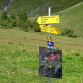
- no. 17, 324, Sommerberg, Tuxerjochhaus
-
- Destination:
- Sommerberg Alm
-
- Resting points:
- Bichlalm, Sommerberg Alm
-
- Recommended time of year:
- Jan Feb Mar Apr May Jun Jul Aug Sep Oct Nov Dec
-
- Download GPX track:
- Hike to the Sommerbergalm mountain hut
If you want to do this hike, we suggest you to check the weather and trail conditions in advance and on site before setting out.
