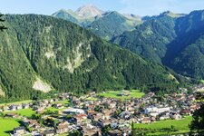
Enjoy a nice walk on the Penken at more than 2,000 m a.s.l., the adventure mountain above Mayrhofen and Finkenberg in the beautiful Zillertal valley
Image gallery: Panoramic circular path on Mt. Penken
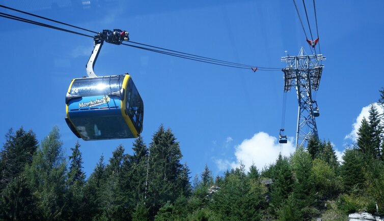
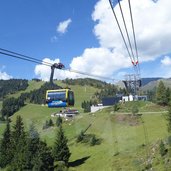
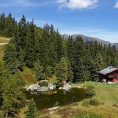
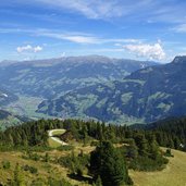
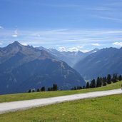
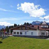
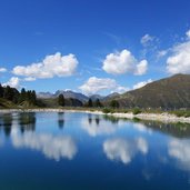
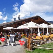
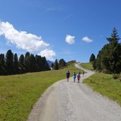
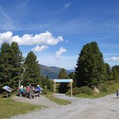
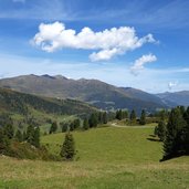
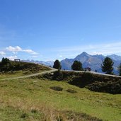
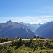
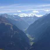
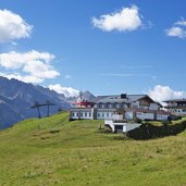
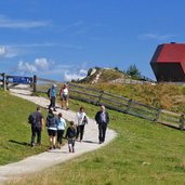
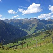
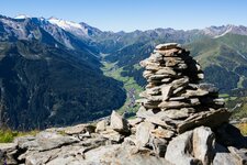
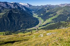
Whoever wants to do this easy round tour, which can be done by everyone, is in any case dependent on a cable car. Either from Finkenberg or from Mayrhofen you can reach the starting point of the panoramic circular path by cable car. We start our tour in Mayrhofen, where we take the Penken Cable Car up to the mountain station. Past the Pilzbar restaurant we climb up to the Lärchwald Mountain Hut. At the reservoir near the Penkenalm hut we continue along the ridge towards the Penkenjoch Mountain Hut. The trail follows the mountain ridge, which serves as a natural viewing platform and opens the view on the Zillertal valley up to the Zillertal Main Ridge. Numerous glaciers and also the Stillup Reservoir can be seen from here.
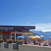
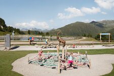
Past the Penken Panorahma Restaurant we walk up to the highest point, the Penkenjoch ridge. Here, at the mountain station of the Finkenberger Almbahn Cable Car, there are several rest points, such as the Penkenjochhaus, the Penkentenne and the Granatalm. We enjoy the view on the Tux Valley and the Tux Alps. Near the reservoir, the "Granatkapelle" can be found, a garnet-shaped place of worship designed by the Swiss star architect Mario Botta. Culinary delights, culture and the Funsport Station make the Penken the number one excursion and adventure mountain in the Zillertal valley.
Author: AT
-
- Starting point:
- Penkenbahn mountain station (Mayrhofen)
-
- Time required:
- 02:40 h
-
- Track length:
- 8,7 km
-
- Altitude:
- from 1.783 m to 2.081 m
-
- Altitude difference:
- +327 m | -327 m
-
- Signposts:
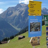
- Panoramarundweg (panorama round trail)
-
- Destination:
- Penkenjoch Mountain Hut
-
- Resting points:
- Danser Mandel, Penkenalm, Penken Panorama Restaurant, Granatalm, Penkenjochhaus, Penkentenne
-
- Recommended time of year:
- Jan Feb Mar Apr May Jun Jul Aug Sep Oct Nov Dec
-
- Download GPX track:
- Panoramic circular path on Mt. Penken
If you want to do this hike, we suggest you to check the weather and trail conditions in advance and on site before setting out.
