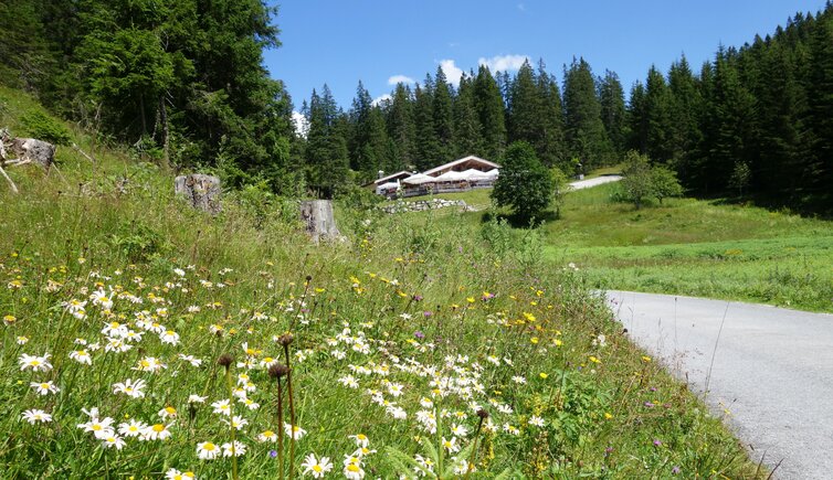
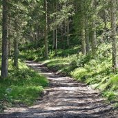
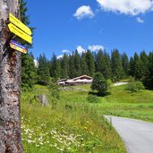
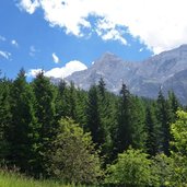
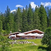
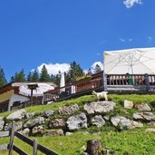
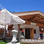
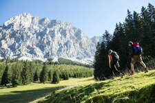
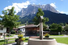
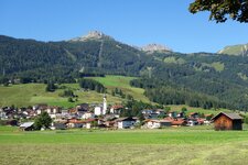
This beautiful hike leads us to the forests of Mt. Thörle, a 1,530 m high hilltop at the foot of the impressive Zugspitze, more precisely to the Hochthörle Mountain Hut at 1,480 m a.s.l
Image gallery: Hike to the Eibseeblick viewpoint
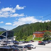
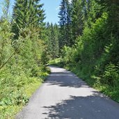
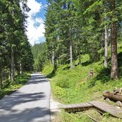
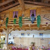
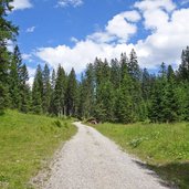
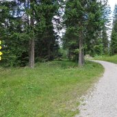
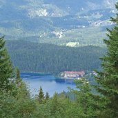
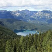
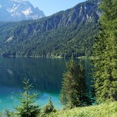
The Thörlenweg connects the locality of Ehrwald to the Hochthörle Mountain Hut (Hochthörle-Hütte) at the foot of Mt. Zugspitze, the highest peak of Germany. Not far away, there's the Eibseeblick viewpoint, which offers a fantastic view on Lake Eibsee and the Bavarian village of Grainau. We start our hike in Obermoos, near the valley station of the Zugspitz Cable Car. The Thörlen Path follows an asphalt mountain road. It leads directly to the Hochthörle Mountain Hut and overcomes on its way 3 km and an altitude difference of 270 m.
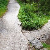
The path is also accessible for prams and wheelchairs. In order to reach the viewpoint, we continue our walk for a few hundred metres on a gravel path. The Eibseeblick is located on the border between Bavaria and Tyrol and offers a magnificent view on Lake Eibsee, one of the most beautiful lakes throughout Germany. If you would like to extend this rather short hike, you can start the walk in the village of Ehrwald and follow the forest path, running parallel to the state road. This doubles the below indicated kilometres, altitude difference and walking time.
Author: AT
-
- Starting point:
- Tiroler Zugspitz valley station, Ehrwald Obermoos
-
- Time required:
- 02:25 h
-
- Track length:
- 7,2 km
-
- Altitude:
- from 1.228 m to 1.505 m
-
- Altitude difference:
- +312 m | -312 m
-
- Signposts:
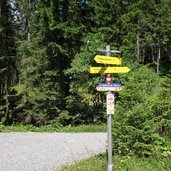
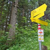
- no. 42, Thörlenweg, Hochthörle, Eibseeblick
-
- Destination:
- Hochthörle Mountain Hut, Eibseeblick viewpoint
-
- Resting points:
- Hochthörlehütte
-
- Recommended time of year:
- Jan Feb Mar Apr May Jun Jul Aug Sep Oct Nov Dec
-
- Download GPX track:
- Hike to the Eibseeblick viewpoint
If you want to do this hike, we suggest you to check the weather and trail conditions in advance and on site before setting out.
