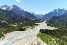
The Road of Princes, or Fürstenstrasse, leads from Schluxen near Pinswang in Tyrol to Lake Alpsee and the Bavarian royal castles Hohenschwangau and Neuschwanstein
Image gallery: Hike to Neuschwanstein Castle
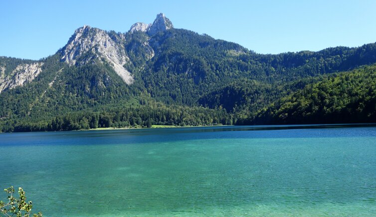
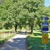
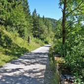
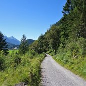
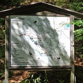
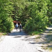
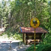
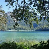
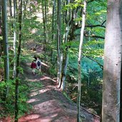
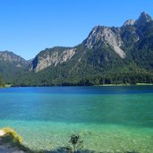
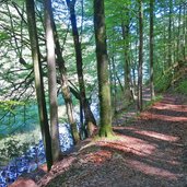
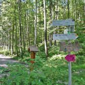
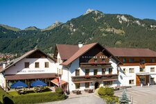
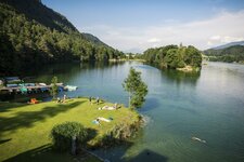
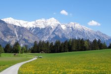
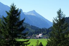
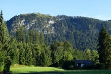
A beautiful forest path, a romantic lake and fairy-tale castles await us along the famous cross-border Road of Princes (Fürstenstrasse). It starts in Pinswang in the Tyrolean Lechtal valley, more precisely at the Zum Schluxen tavern. The gravel path leads us uphill - 60 m of altitude difference - towards the Austrian-German boundary stone and further on to Lake Alpsee, always following the signpost "Fürstenstrasse". Together with Mt. Säugling in the background, the lake is a motif of outstanding beauty for photographers.
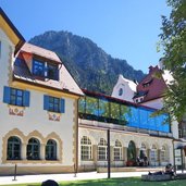
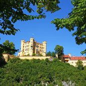
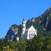
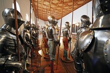
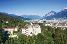
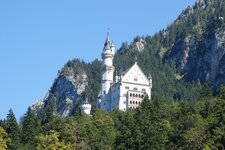
After a 2-hour walk we reach Hohenschwangau on the opposite lakeside. In the village there are the world famous Hohenschwangau Castle and the Museum of the Bavarian Kings. After another 30 minutes we finally reach the fairy-tale castle of King Ludwig II from Bavaria and one of the most beautiful castles of the world, Neuschwanstein. We recommend advanced online reservation of your tickets for the castles and the museum: Especially in summer the tickets are sold early.
Author: AT
-
- Starting point:
- Pinswang, Zum Schluxen tavern
-
- Time required:
- 04:30 h
-
- Track length:
- 14,7 km
-
- Altitude:
- from 821 m to 934 m
-
- Altitude difference:
- +343 m | -343 m
-
- Signposts:
- Fürstenstrasse
-
- Destination:
- Lake Alpsee, Hohenschwangau Castle, Neuschwanstein Castle
-
- Recommended time of year:
- Jan Feb Mar Apr May Jun Jul Aug Sep Oct Nov Dec
-
- Download GPX track:
- Hike to Neuschwanstein Castle
If you want to do this hike, we suggest you to check the weather and trail conditions in advance and on site before setting out.
