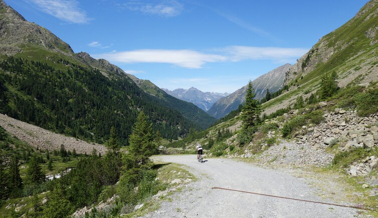
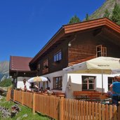
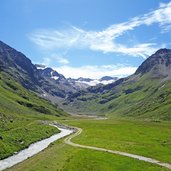
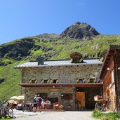
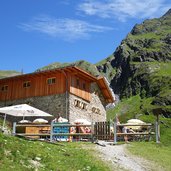
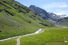
The mountain bike route through the Sulztal valley leads from Längenfeld in the Oetztal valley to Gries and up to the Amberger Mountain Hut at 2,135 m a.s.l., with a stunning view
Image gallery: MTB tour through the Sulztal valley
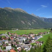
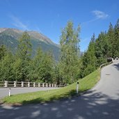
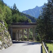
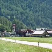
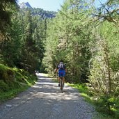
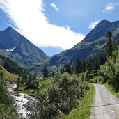
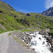
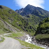
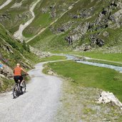
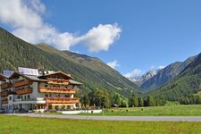
At the roundabout in Längenfeld the Grieser Strasse road starts, which is the first part of the route. Via a series of hairpin bends above the Oetztal valley, the first 200 m of altitude difference are mastered, then the route enters the Sulztal valley. The route on the northern side of the valley is an asphalt valley road leading to Gries. After crossing the village, the road reaches a car park: From there we continue along the forest road, where the asphalt is soon replaced by gravel.
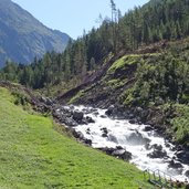
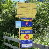
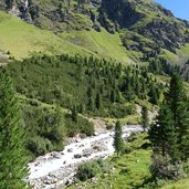
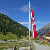
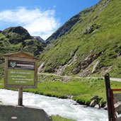
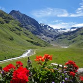
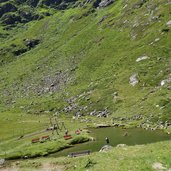
Always following the course of the Fischbach stream, the gravel road first leads us to the Lower Sulztal Mountain Hut (Vordere Sulztalalm), then follows the last steep ascent which leads to the Upper Sulztal Mountain Hut (Obere Sulztalalm) and the Amberger Hütte. From this mountain hut at 2,135 m a.s.l., we can see as far as the glaciers on the Daunkogel. The descent is done along the same path - alternatively, the gravel road can be chosen, which leads from the level of Gries on the southern side of the Fischbach stream to Längenfeld.
Author: AT
-
- Starting point:
- Längenfeld
-
- Time required:
- 03:20 h
-
- Track length:
- 24,3 km
-
- Altitude:
- from 1.177 m to 2.133 m
-
- Altitude difference:
- +962 m | -962 m
-
- Signposts:
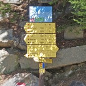
- MTB no. 694
-
- Destination:
- Amberger Hütte Mountain Hut
-
- Resting points:
- Sulztalalm, Amberger Hütte
-
- Track surface:
- 49% asphalt road, 51% gravel road
-
- Recommended time of year:
- Jan Feb Mar Apr May Jun Jul Aug Sep Oct Nov Dec
-
- Download GPX track:
- MTB tour through the Sulztal valley
If you want to do this tour, we suggest you to check the weather and trail conditions in advance and on site before setting out.
