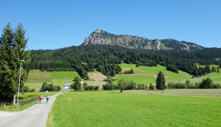
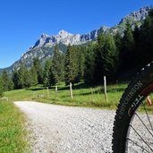
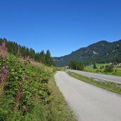
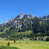
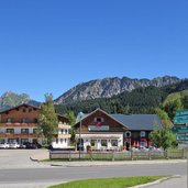
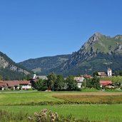
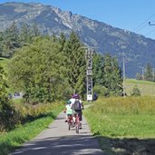
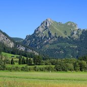
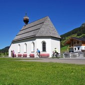
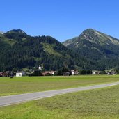
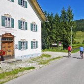
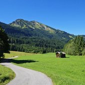
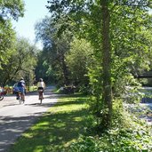
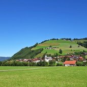
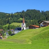
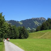
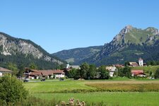
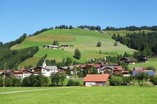
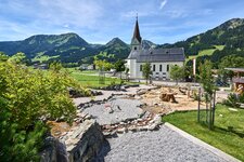
For its moderate distance and characteristics, the cycle path through the scenic Tannheimer Tal valley is a real insider tip
Image gallery: Tannheimer Valley Cycle Route
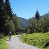
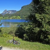
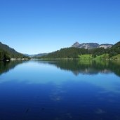
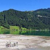
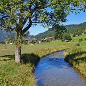
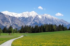
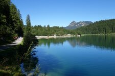
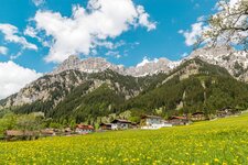
We recommend to take plenty of time for this pleasant cycle tour through the Tannheimer Valley - not because the track is so demanding, but because there are many beautiful things to see and discover along the route. Two of them are the nature around Lake Haldensee in the upper Tannheimer Valley, and the landscape along the Vils river, flowing down the valley.
The Local Museum Tannheimer Valley near Kienzen between Tannheim and Zöblen is also worth visiting. And if the 20 km long Tannheimer Valley Cycle Route (Radweg Tannheimer Tal) seems to be too short for you, you may make a side trip to the beautiful Lake Vilsalpsee, or continue on the RRA Cycle Route to the Bavarian Allgäu.
Connection to other cycle routes in Tyrol:
- at Nesselwängle: MTB trail Alter Gaichtpass
- at Nesselwängle: Lech Cycle Route via Weissenbach
- at Grän: RRA Cycle Route to Pfronten (D)
- at Schattwald: MTB trail through the Vilstal valley to Pfronten (D)
- at Schattwald: RRA Cycle Route to Oy (D)
Attention: The described cycle routes are only sectionally cycle paths in the narrower sense. They often proceed on byroads where also car and tractor traffic is allowed. Please take care!
-
- Starting point:
- Nesselwängle (1,130 m a.s.l.)
-
- Time required:
- 01:30 h
-
- Track length:
- 19,5 km
-
- Altitude:
- from 1.050 m to 1.156 m
-
- Altitude difference:
- +81 m | -117 m
-
- Signposts:
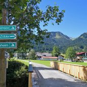
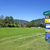
- Radweg Tannheimer Tal, R10
-
- Destination:
- Schattwald (1,070 m a.s.l.)
-
- Track surface:
- approx. 5 km gravel road (to the locality of Haldensee), from there mostly asphalt road
-
- Recommended time of year:
- Jan Feb Mar Apr May Jun Jul Aug Sep Oct Nov Dec
-
- Download GPX track:
- Tannheimer Valley Cycle Route
