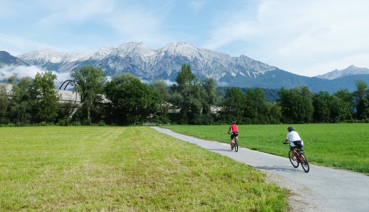
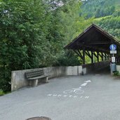
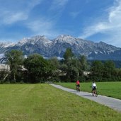
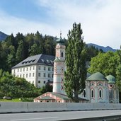
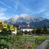
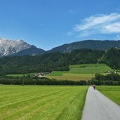
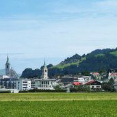
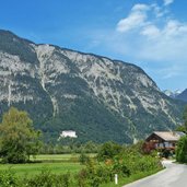
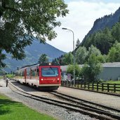
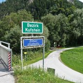
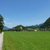
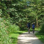
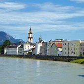
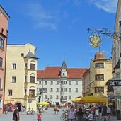
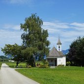
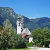
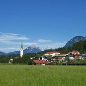
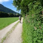
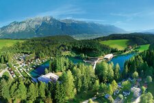
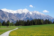
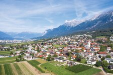
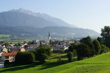
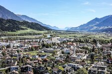
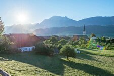
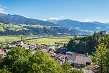
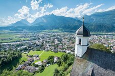
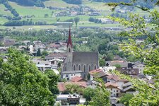
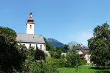
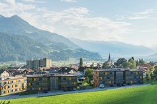
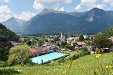
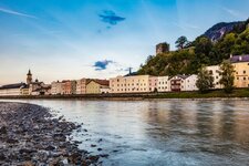
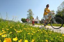
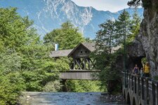
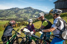
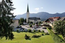
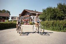
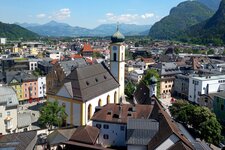
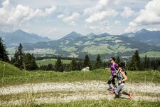
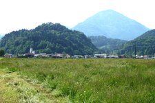
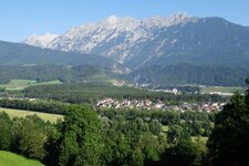
This route runs almost flatly through the Unterinntal: Spruce villages are located along the route, with the majestic Tyrolean peaks behind
Image gallery: Inn Cycle Route - Tiroler Unterland
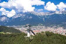
Starting at Ottoburg Castle in the centre of Innsbruck, the R2 Cycle Route runs towards east through the parks on the Inn riverbank. Past the Olympic Village, it goes through the field scenery towards Hall in Tirol. Here the cycle path changes to the southern bank of the Inn until Wattens past the Swarovski Crystal Worlds where it leads to the northern bank of the river again. The tour continues until Schwaz and Jenbach, where the Achensee Cycle Route branches off. The Inn Cycle Route proceeds further towards east, and after Strass, the Zillertal Cycle Route branches off.
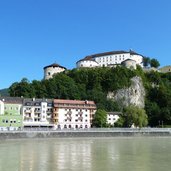
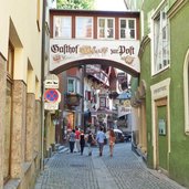
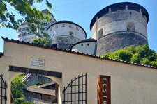
The next villages along the Inn are Brixlegg and shortly afterwards Rattenberg - this small medieval townlet is well worth a visit. Past Kundl, Wörgl (Brixental Kitzbühel Cycle Route) and Kirchbichl, the route leads through a landscape of fields until Kufstein. The town with its impressive fortress is the last major town along the Tyrolean Inn Cycle Route. Just about 15 km further downstream, at Erl, the territory of Tyrol ends and the Inn Cycle Route continues on Bavarian territory. After another 175 km, near Passau, the cycle route joins the Danube Cycle Route (Donau-Radweg).
- Train & Bike: local train/city train with limited transportation of bikes
Connection to other cycle routes in Tyrol:
- in Innsbruck: urban cycle network and continuation Inn Cycle Route - Tiroler Oberland R1
- at Jenbach: Achensee Cycle Route / Via Bavarica Tyrolensis
- at Strass: Zillertal Cycle Route to Mayrhofen
- at Wörgl: Brixental Cycle Route to Kitzbühel
- at Niederndorf: Mozart Cycle Route
- at Erl: Bavarian Inn Cycle Route
Attention: The described cycle routes are only sectionally cycle paths in the narrower sense. They often proceed on byroads where also car and tractor traffic is allowed. Please take care!
-
- Starting point:
- Innsbruck (575 m a.s.l.)
-
- Time required:
- 06:30 h
-
- Track length:
- 98,8 km
-
- Altitude:
- from 462 m to 580 m
-
- Altitude difference:
- +28 m | -136 m
-
- Signposts:
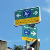
- Innradweg Tiroler Unterland, R2
-
- Destination:
- Erl (475 m a.s.l.)
-
- Recommended time of year:
- Jan Feb Mar Apr May Jun Jul Aug Sep Oct Nov Dec
-
- Download GPX track:
- Inn Cycle Route - Tiroler Unterland
