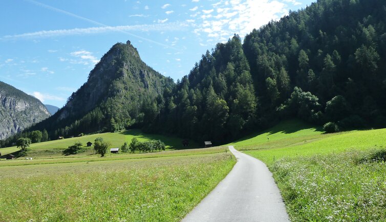
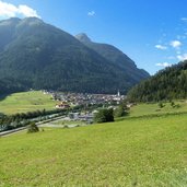
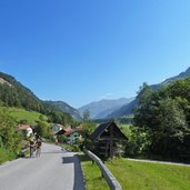
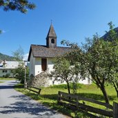
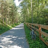
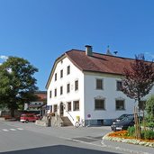
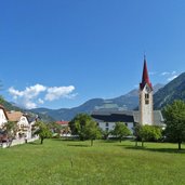
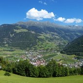
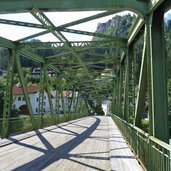
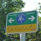
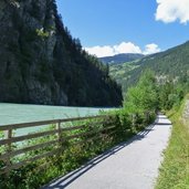
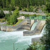
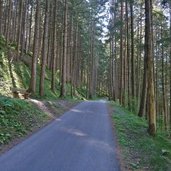
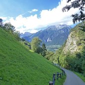
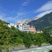
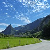
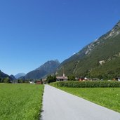
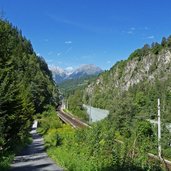
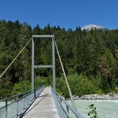
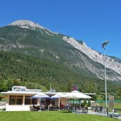
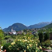
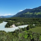
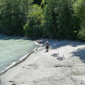
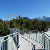
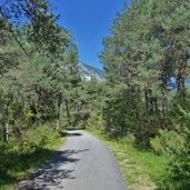
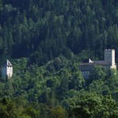
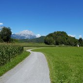
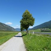
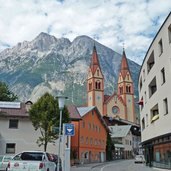
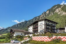
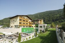
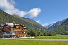
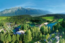
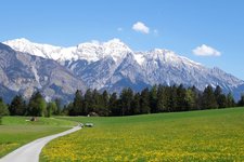
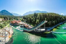
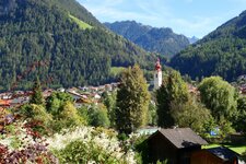
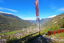
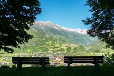
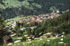
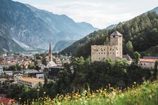
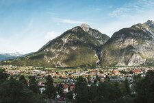
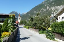
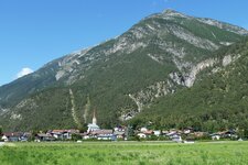
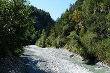
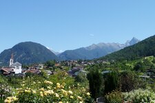
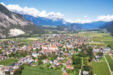
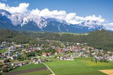
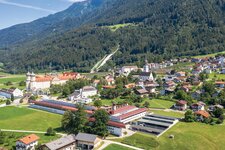
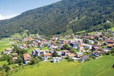
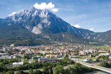
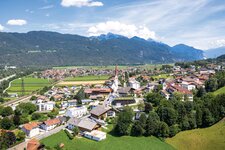
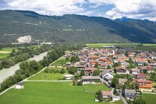
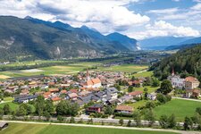
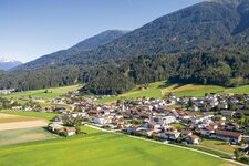
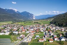
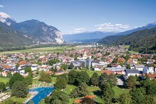
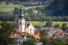
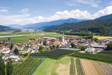
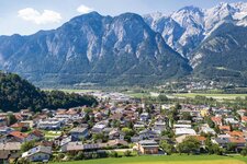
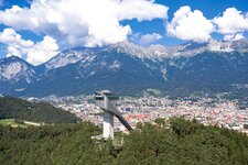
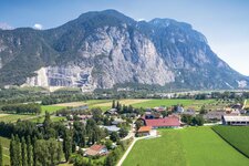
From the Engadine to the centre of Innsbruck: Along the green Inn river, the cycle route proceeds through a varied landscape
Image gallery: Inn Cycle Route - Tiroler Oberland
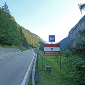
The Tyrolean Inn Cycle Route (Innradweg) is the extension of the Swiss Engadine Cycle Route (no. 6, Grisons Route). The section from the border to Finstermünz has to be cycled on the Engadine State Road. But already 1 km after the border, the cycle path in the Tyrolean Oberinntal starts. Before Pfunds, it changes to the southern side of the valley. On gravelled paths, asphalted forest roads and byways it leads to Tösens, Ried and Prutz. Here, the wide valley floor ends and the Inn flows through a partly narrow gorge to Landeck. For several times, the cycle route changes the waterside and proceeds on the bicycle lane of the state road B180, and finally on a forest path to the district capital at the junction of the Inn and Sanna rivers, to the junction into the Gurgltal.
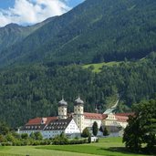
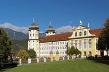
The entire until here described route is identical with the Inn Valley section of the Via Claudia Augusta Cycle Route. Shortly before the railway station of Imst-Pitztal, the Via Claudia Augusta branches off towards the Fern Pass, whereas the Inn Cycle Route proceeds on the riverbank further to Roppen, where the valley becomes wider. Also the next section to Schlierenzau, where the Oetztal valley branches and the Ache river flows into the Inn, offers a beautiful landscape. The rivers wind through wetlands which are only interrupted by the transport infrastructure and the facilities of the Area 47. The tour continues between the Inn and the motorway, past the villages of Silz, Mötz, Stams with its Cistercian monastery until Telfs. Through the wide valley, the route almost constantly runs near the river to Zirl, Völs, and finally into the centre of Innsbruck.
- Train & Bike: local train/city train with limited transportation of bikes in the section Landeck - Innsbruck
Connection to other cycle routes in Tyrol:
- at the Swiss border: Engadine Cycle Route no. 6
- at the Swiss border: Via Claudia Augusta Cycle Route towards the Resia Pass
- at Imst: continuation Via Claudia Augusta and Cycle Route R5 towards the Fern Pass
- at Imst: Pitztal Cycle Route
- at Schlierenzau: Oetztal Cycle Route towards the Timmelsjoch pass
- at Telfs: Mieming Cycle Route R4 to Nassereith
- in Innsbruck: urban cycle network and continuation Inn Cycle Route - Tiroler Unterland R2
Depending on your stamina, we recommend to time one or two days for this route to experience the surroundings - only in two days you have enough time to enjoy all the beauty of the landscape.
Attention: The described cycle routes are only sectionally cycle paths in the narrower sense. They often proceed on byroads where also car and tractor traffic is allowed. Please take care!
-
- Starting point:
- Finstermünz (1,050 m a.s.l.)
-
- Time required:
- 08:00 h
-
- Track length:
- 114,1 km
-
- Altitude:
- from 572 m to 996 m
-
- Altitude difference:
- +147 m | -594 m
-
- Signposts:
- Innradweg Tiroler Oberland, R1
-
- Destination:
- Innsbruck (575 m a.s.l.)
-
- Recommended time of year:
- Jan Feb Mar Apr May Jun Jul Aug Sep Oct Nov Dec
-
- Download GPX track:
- Inn Cycle Route - Tiroler Oberland
